Radar early this morning (before 100 am) showed rain moving northward into south Alabama, and this rain should spread northward today and increase, as an upper level storm approaches from the west. Rain chances will stay high at least through tonight, possibly into Tuesday also. However, how much rain we get, and the temperatures this week, are a tough call as the models are having a very hard time with this system. As NCEP experts stated in a discussion on Sunday…”NEW 12Z RUNS AND NAM AND GFS EXTEND THE DAILY MODEL FORECAST
DISASTER…” (they don’t mean a weather disaster, but a very diffiuclt forecast).
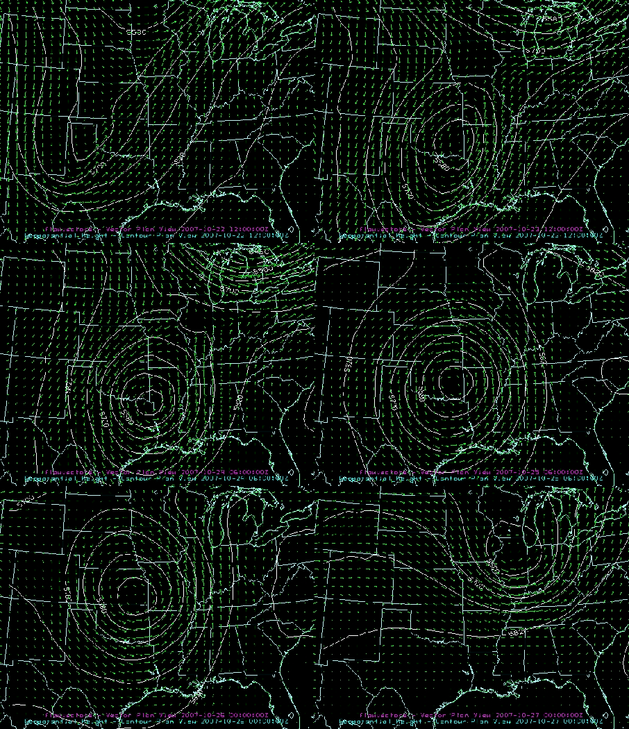
As shown above in the 500 mb forecast from the latest GFS, the upper-level low gets cut off from the main flow, causing it to slow down. Interestingly, the NAM and GFS now both indicate that the low will eventually turn around and head westward again by Wednesday! If this happens, exactly how far east the system gets before slowing down and turning around is the key. The GFS slows the system down near Texarkana, while the NAM slows it down closer to Dallas. With the southerly flow on the east side of the system, there will be a wide swath of heavy rain over the Southeast U.S. The GFS sets up the band of heaviest rain right over central Alabama tonight and tomorrow, while the NAM keeps it a little further west.
The difference could be significant, as shown in the total rainfall forecast from each model through Wednesday morning, shown below. The GFS shows Birmingham getting over 6″ of rain, while the NAM shows only 0.8″. It is clear that we will get some rain. It is also clear that some areas will get heavy rainfall amounts the next couple of days…will it be us or Mississippi? If the GFS is right, it will be us. It’s hard to say, but the GFS has some things going for it, including run-to-run consistency. The forecast would be somewhere down the middle from me, with rainfall amounts maximized in northwest Alabama.

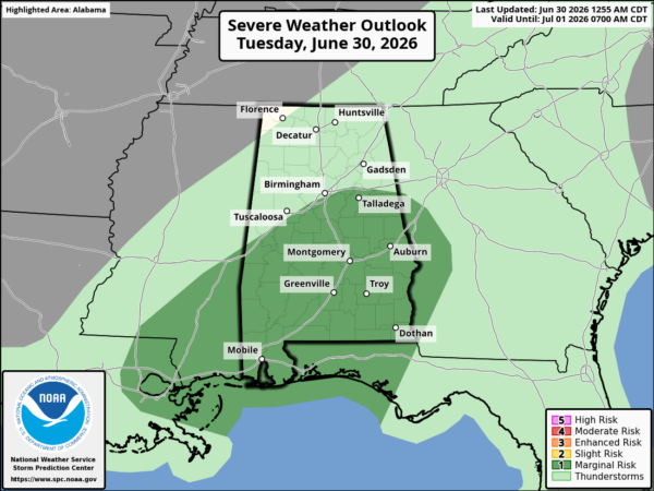
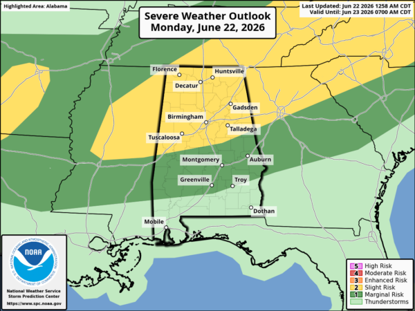
The best chance for severe storms is in south Alabama, but this system does not have the instability like the last one.
The other question is temps. With the NAM holding the system back, the cold air doesn’t make it, at least not by Tuesday or Wednesday. The NAM shows a high near 82 on Tuesday in BHM. The GFS brings the colder air in, with temps in the 50s most of the day Tuesday and Wednesday. Wow.
The main thing is…beneficial rains are coming, and some areas will get very heavy rain. The best chance for this is in the northwest half of Alabama, north of I-59. We’ll see!