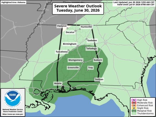
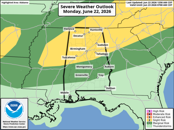
A band of showers is moving through central Alabama now, affecting much of the Birmingham metro area, especially northern sections, with some rain. Be careful if you’re driving into rain this weekend! The air here is not unstable now, so don’t expect any problems with severe weather the next few hours.
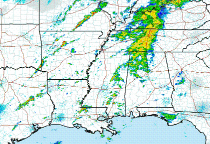
Back to our north and west, more intense storms are starting to form ahead of the cold front, from SE Missouri into Arkansas, and a few in eastern MS. The air is more unstable in that area.
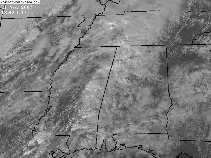
Satellite shows some thinning in the clouds to our west, so we could see some sunshine this afternoon. With moist air in place and cooling upper-level temps, any sunshine could push our temps well into the 70s later this afternoon. This would produce instability that may keep storms coming in from the NW tonight stronger. We’ll see. It still looks like the main threat for storms around here will be later tonight.
Get ready for the cold air tomorrow! Falling into the 40s by afternoon with gusty winds.