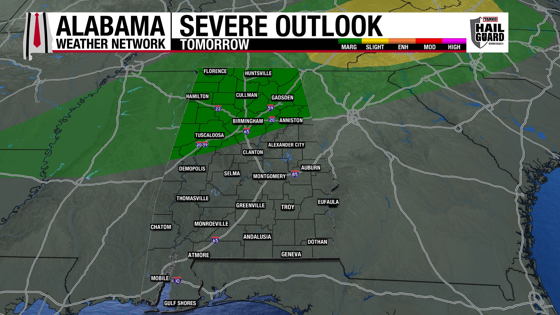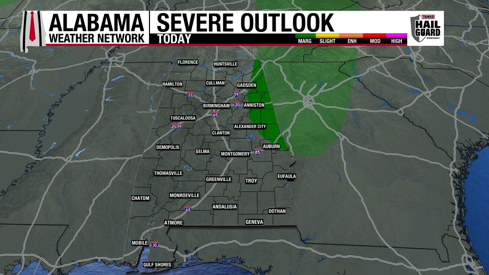
As I mentioned earlier, the warm, windy conditions today have mixed dry air from aloft down to the surface. This has lowered dewpoints to near 60, and limited CAPE values to 1,000 J/kg or less over most of Alabama. With mixing slowing down some as it gets dark, we’ll have to see if dewpoints rise a little.
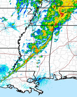
The storms in MS don’t look too intense right now. However, things could change with darkness and with an upper level disturbance approaching the line from the west.
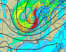
The main threat is still damaging winds tonight, with dry air allowing rain evaporation and cooling at low levels. This cooling makes the air heavier and produces strong downdrafts and high winds. There could be an isolated tornado, but that is not the main threat tonight. SPC does still have us in a tornado watch, so keep an eye on the weather.