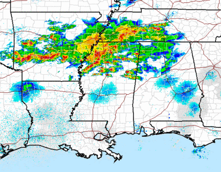
A lot of thunderstorms are on radar tonight from Arkansas into west Tennessee and northern Mississippi. A weak upper-level disturbance is helping some of these to form. Also, there is frontogenesis, or a front that is getting more intense, over north Mississippi, as you can see below.
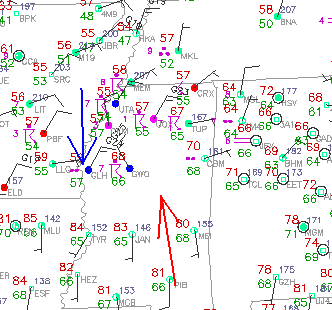
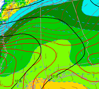
There is a tight gradient in temperature along the front, especially along a band from MGM and Clanton to central Mississippi. The air is confluent near the front, meaning warm air is being moved closer to the southern side of the front and colder air to the northern side, making the front stronger with time. The atmosphere has to respond to this to stay in balance, so the warm air rises and the cool air sinks, to equalize things out and create more wind shear (as is necessary when the temperature gradient gets stronger).
The other thing is that, with this circulation near the front, helicity is enhanced, and it makes tornadoes possible near the front. There is not a lot of background wind shear, so there is not a big tornado threat tonight, but along that boundary, that circulation mentioned above may cause some rotation (see pictures of supercell near Starkville, MS below).
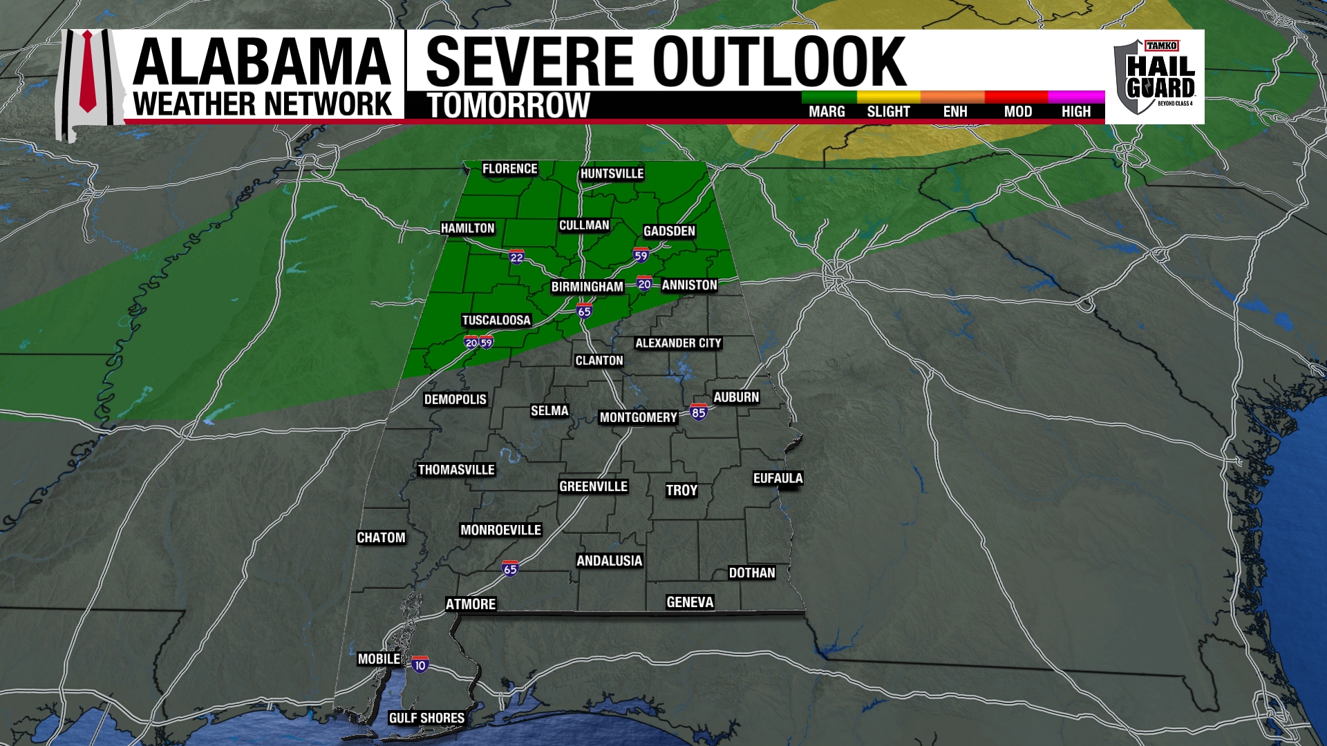
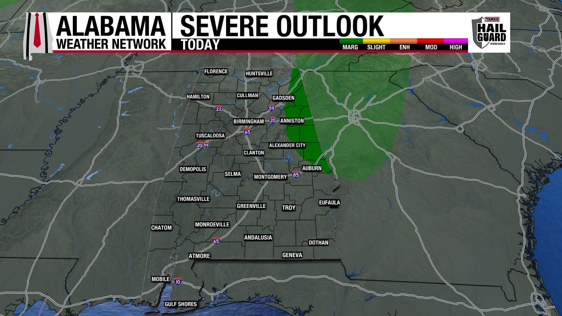
As the storms move into north Alabama, there may be some hail and damaging winds, but the tornado risk is extremely low. However, with elevated storms we often get very heavy rain, so 1-2″ of rain is possible again tonight, especially north of I-20. The bigger severe threat is south of I-20.