What a weather system. The strong cold front came through the Birmingham area between 9 and 10 pm, wind gusts 35-40 mph in many areas, with some gusts at higher elevations likely near 50 knots. Radars indicate that, while the main area of precipitation has moved out, there are some light areas of precipitation moving in from the NW, associated with the upper-level trough. With 850 mb temps already below freezing and surface temps falling into the 30s, we may see a few snow flurries this morning…but it will be too light to accumulate, especially with the warm ground.
With the high wind shear environment Saturday, there were a lot of interesting wave-like features. I need to do a post explaining atmospheric gravity waves sometime soon.
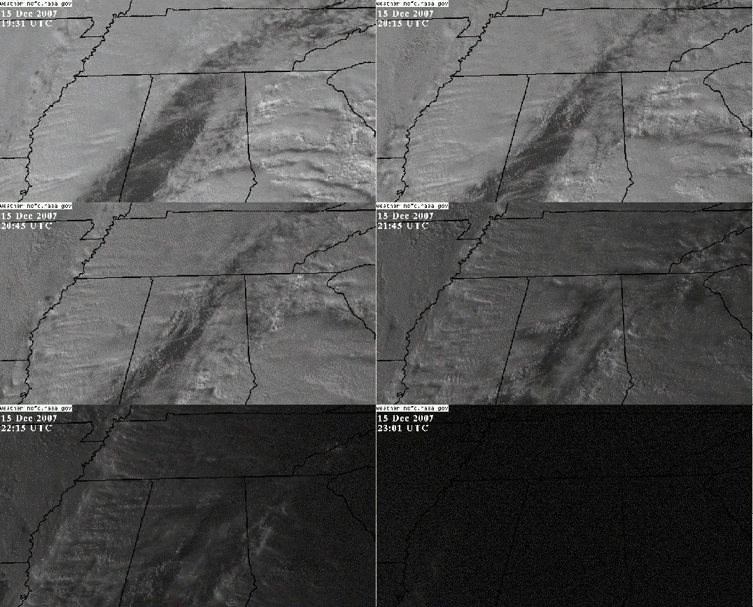
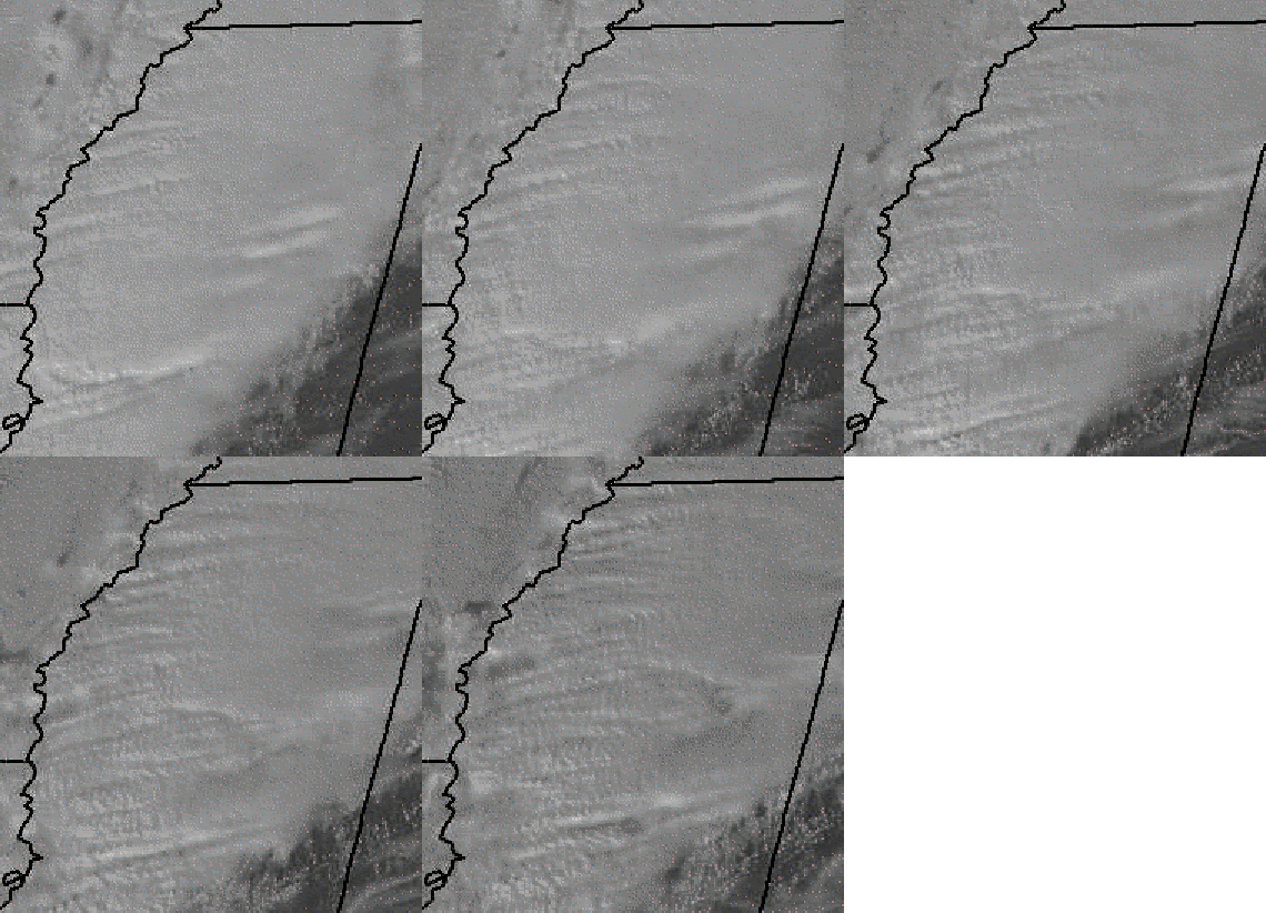
During the day today, high-resolution visible satellite pictures (these are like photographs) show numerous gravity waves moving northward through the clouds over Mississippi, like waves on the water. Below is a loop of the Southeast, then a fast, repeating loop zoomed in on Mississippi. Neat.
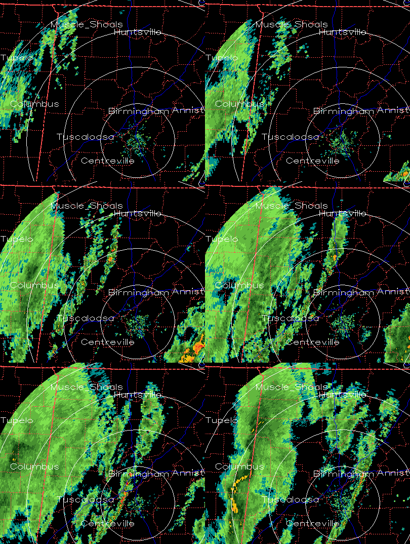
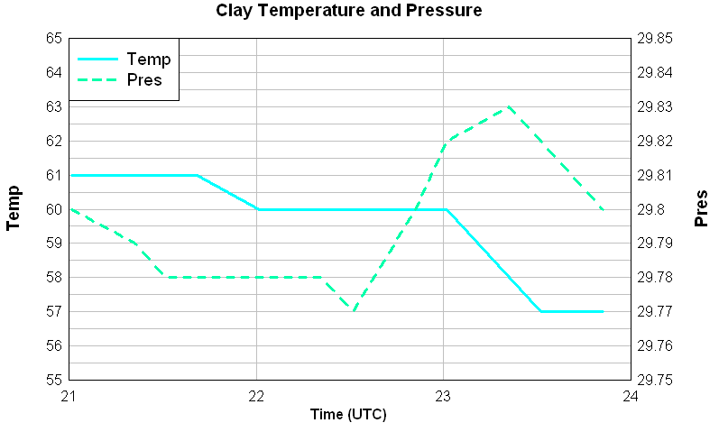
Also, around 5 pm, a band of heavy showers came through the Birmingham area, possibly associated with an atmospheric bore, the same type of gravity waves that caused the strange waves in Iowa back in October that we showed on this blog. The pressure, which was falling ahead of the low pressure area, temporarily jumped upward as the feature passed through, winds gusted, and yet the temperature did not start to fall until a few minutes later. So, this may not have been just a typical outflow of cool air ahead of other showers. We’ll have to analyze it and see. A radar loop, and temperature and pressure observations from the site near Clay, Alabama, are shown.