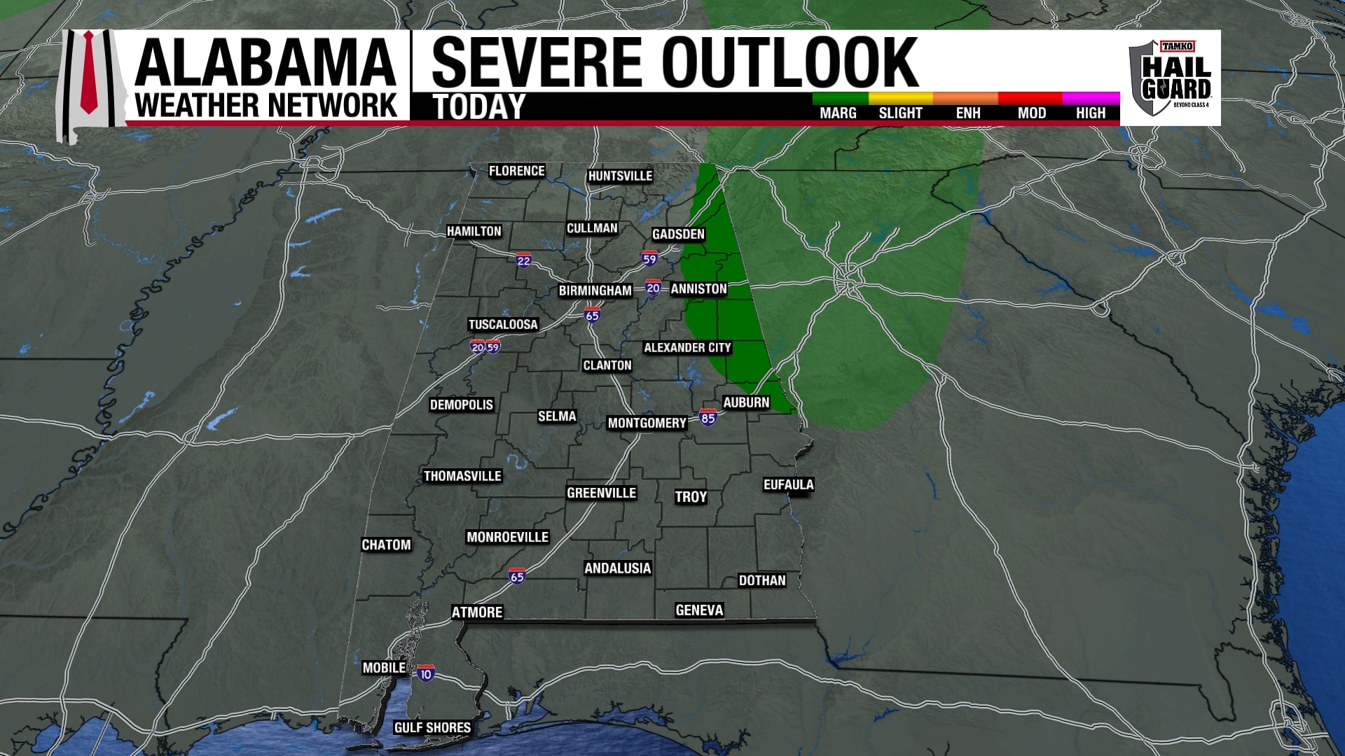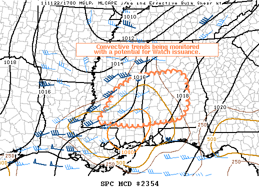
Looks like SPC will pull the trigger on a tornado watch for parts of Southeast Mississippi and South Alabama within the next 30 minutes. Again, this is a somewhat marginal risk… greatest risk of severe weather will be along and south of U.S. 80, or south of a line from Meridian to Demopolis to Selma to Montgomery to Opelika. The air over North Alabama remains relatively stable.
Published on: November 22, 2011 at 11:52 AM
Related Articles
September 20, 2026 at 7:14 AM
Heat For Just a Few More Days
We have to endure a few more days of summer-like weather here in Alabama before a pattern change to cooler and drier weather occurs later this week. The upper-level ridge responsible for our extended hot temperatures will keep its influence over the Southeast through Tuesday, then upper-level troughing from the northeast will dig into the Southeast, pushing a cold front through the region Tuesday into Wednesday. Continue reading →
READ MORE
September 19, 2026 at 7:12 AM
Still Hot Today, Scattered Storms Possible
The weather over the next week will be slightly rainier than it has been recently, and although this weekend and early next week will be hot, we’ll start to see a cooling trend toward the end of next week. Higher rain chances this weekend are due to an upper-low in the Gulf increasing moisture and the upper-level ridge moving westward some. The “cooldown” next week is thanks to an upper-level trough that will dig into the Southeast. Continue reading →
READ MORE