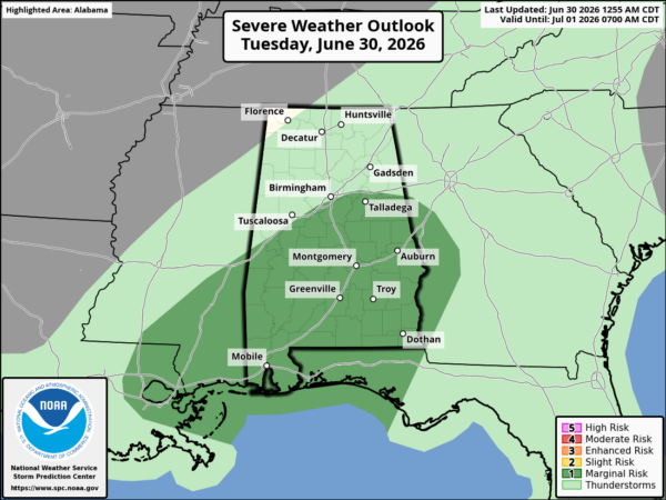
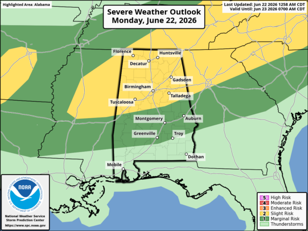
A line of storms was moving into western Alabama. At 330 pm, the leading edge of the line extends from roughly Hayleyville to Fayette to Aliceville to York. The storms in the northern part of the line seem to have weakened some in the past hour, but severe thunderstorm warnings are still in effect for parts of Greene, Sumter, and Choctaw counties, and a tornado watch is in effect for much of south Alabama.
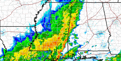
The storms did quite a bit of damage in southern Mississippi, with at least one report of a tornado. This does not look anything like the storms last week…but these still could produce strong winds, large hail, and even isolated tornadoes (especially south of I-20).
The storms will likely make into downtown Birmingham during rush hour, with very heavy rainfall also. So, drive very carefully. Leave plenty of room between you and the car in front of you, and reduce speed.
Stay informed of the weather over the next 2-4 hours.