


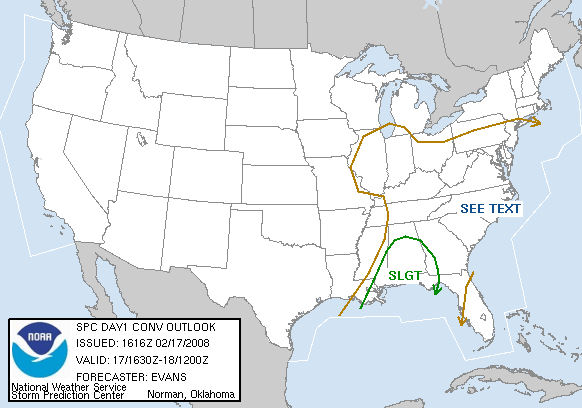
Appropriately, North Alabama has been removed from the severe weather threat area.
The threat continues south of a line along US-278.
The front has passed into Northwest Alabama, effective signalling the end of the threat as it passes.
Thunderstorms are slolwy increasing in the I-59 corridor from Sumter County up to Birmingham. This is ahead of the front. These storms are mostly elevated, and will mainly produce lightning, very heavy rain and perhaps some hail until they develop down to closer to the surface.
We are mainly watching storms further southwest across Sumter, Greene and Hale Counties as well as those over Perry and Dallas Counties. A decent storm is passing through Bibb County heading toward Shelby County.
Wind shear values are extremely high. Any storm that forms will rotate. It will be the ones that become surface based that will be a the biggest problem. The cap is keeping that from happening right now.
A tornado watch continues for Central and South Alabama south of Sumter, Greene, Hale, Dallas, Perry and Autauga Counties and points south. This watch may be extended northeastward if the instability builds, or a new watch may be issued.
A lake wind advisory is in effect for southerly winds averaging 10-20 mph with gusts over 30 at times. Winds are screaming not very far above the surface, so damaging wind gusts will be likely with any storms that become rooted in the surface layer.
NOTES
Rainfall report…0.65 in Coker
Some sunshine is peeking through in eastern, south central and southeastern sections of the state. This will enhance the intability and help to break the cap.
Tornado warning for Baldwin County…funnel cloud sighted near Fort Morgan.



