


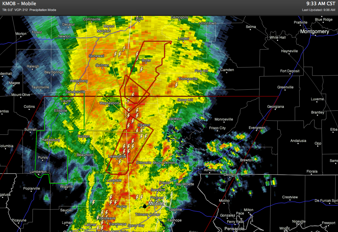
NWS Mobile continues to issue tornado warnings for far Southwest Alabama…
Up this way, no severe weather, just lots of rain.
REST OF THE DAY: The severe weather risk for the northern half of the state remains somewhat marginal; highest severe weather probabilities will remain over the southern counties of Alabama, with the highest risk near the Gulf Coast as the upper low approaches. The large rain mass over North Alabama is keeping the air stable. There is still some window for severe weather, but it would seem at this point any severe storms over the northern half of the state will be very isolated at best.
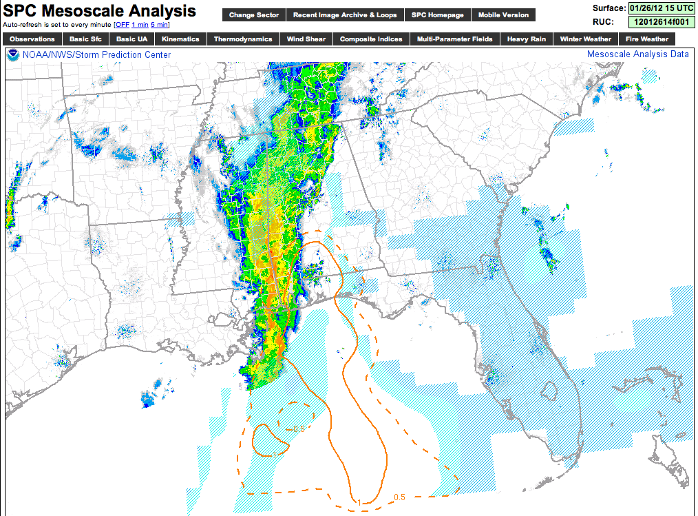
Below is the current STP, or significant tornado parameter, as of mid-morning. It is at 1, over a small part of far South Alabama…
Stay tuned for updates…



