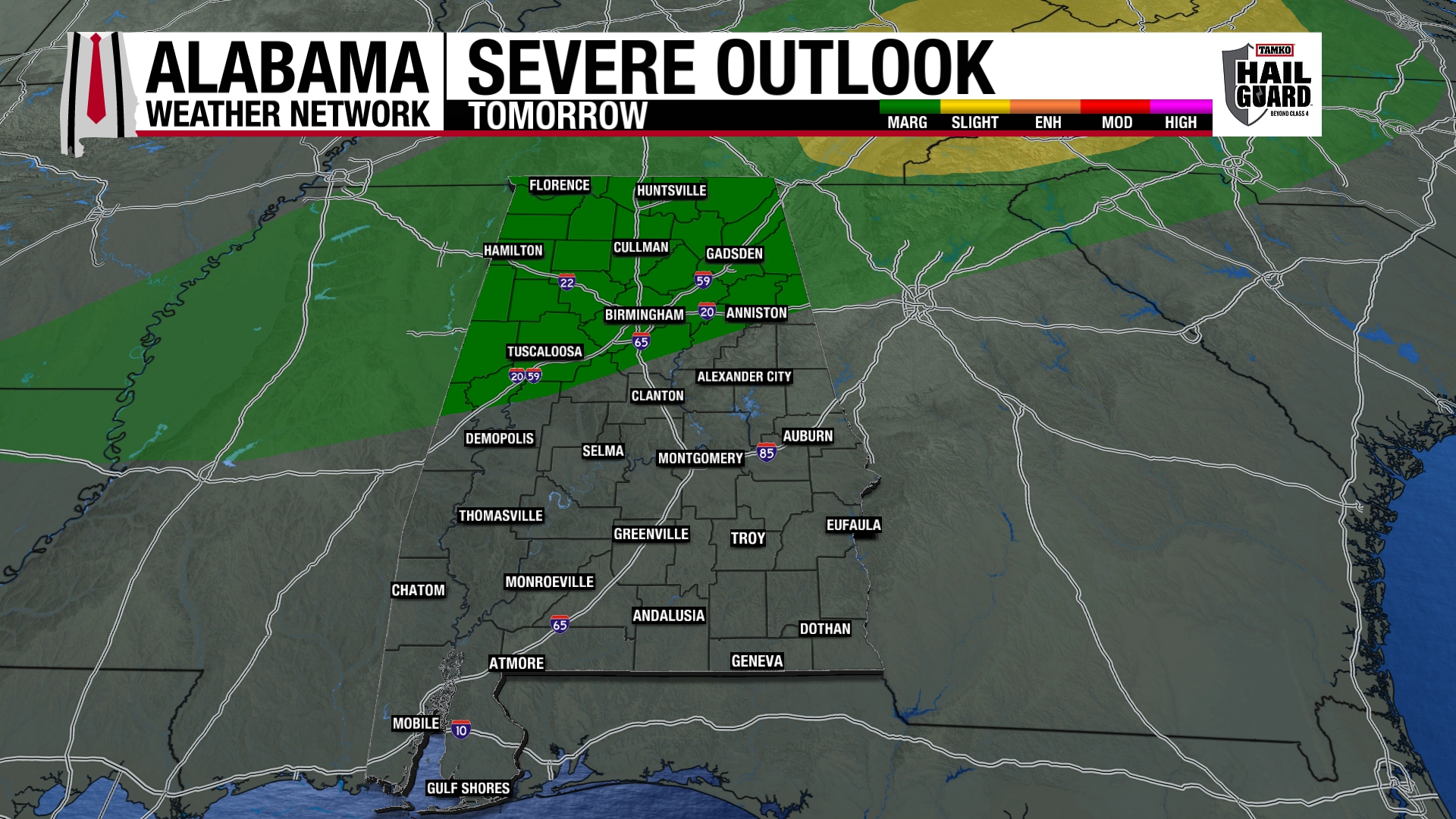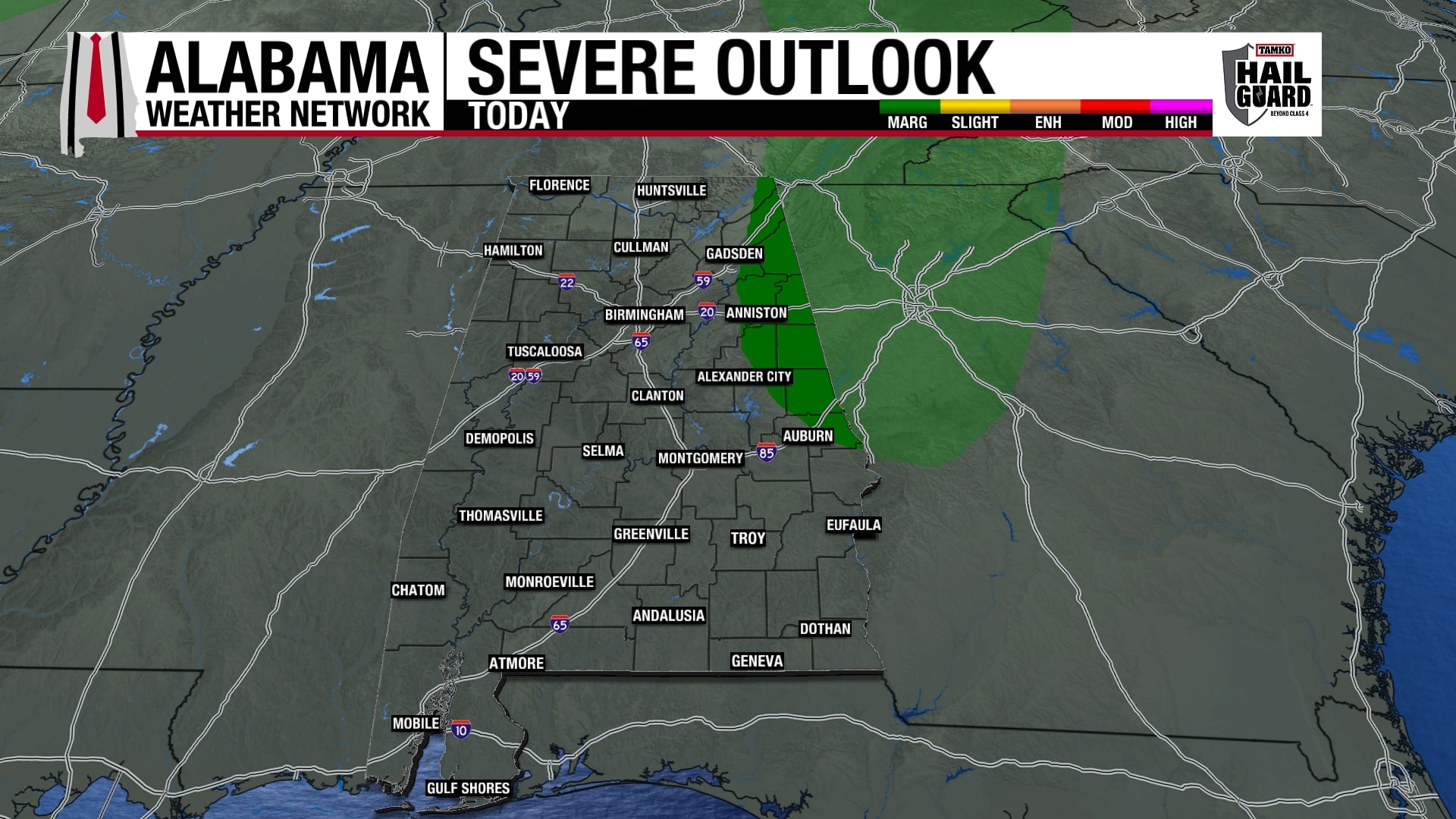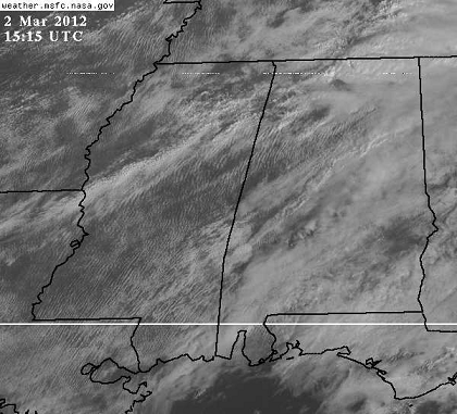
Concerned about clearing skies over central MS and AL. Temperatures already 72 in BHM and TCL, and those will rise with occasional sunshine breaks over the next few hours. Wind shear is high over north and central AL also…0-1 km SR helicity is 300 m2/s2 or higher from I-59 north.
We have a very weak cap in place over central Alabama right now…but if the sun keeps shining, the air parcels will start at a higher temperature to begin with, and may be able to break the cap anyway. CAPE will likely increase to over 1,000 J/kg over the next 2-3 hours over the northern half of Alabama.
Right now, we have no trigger to set off storms this far south…the main action has been in the TN Valley (tornado damage reported in the Huntsville metro area). However, with instability and wind shear in place (and growing) over all of north and central AL over the next 3 hours, we need to watch any small cells that develop on radar, because they could become severe quickly.
Go ahead and start having a weather radio on now if you live anywhere from Clanton northward. It may be that nothing happens this morning/early afternoon due to lack of a trigger, but any storms that do form will become severe and rotate quickly.