


Here is a radar picture from Columbus, MS, just before 2 am, showing the line of storms entering Alabama.
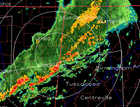
The storms are associated with lightning, and may produce wind gusts up to 50 mph in spots, causing a few downed trees. There is very little instability for the storms to work with. But, the wind shear is significant, and that may keep the storms intense until they reach BHM, around 4 or 5 am.



