Brian Peters and I are on I-22, just filmed a vivid rotating wall cloud, a couple of funnels, but no tornado, in extreme SE Marion County just after 4:30.
Fascinating situation today. Thin layer of dry air at 4,000 ft this morning got mixed down to surface due to abundant sunshine causing turbulence. Dewpoint dropped from 65 to 59 at BHM despite southerly flow. This has helped us dodge bullets mainly so far.
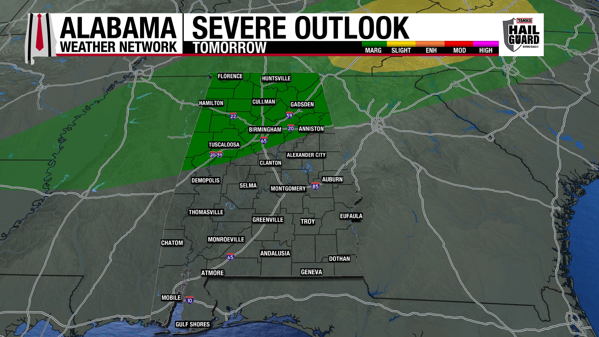
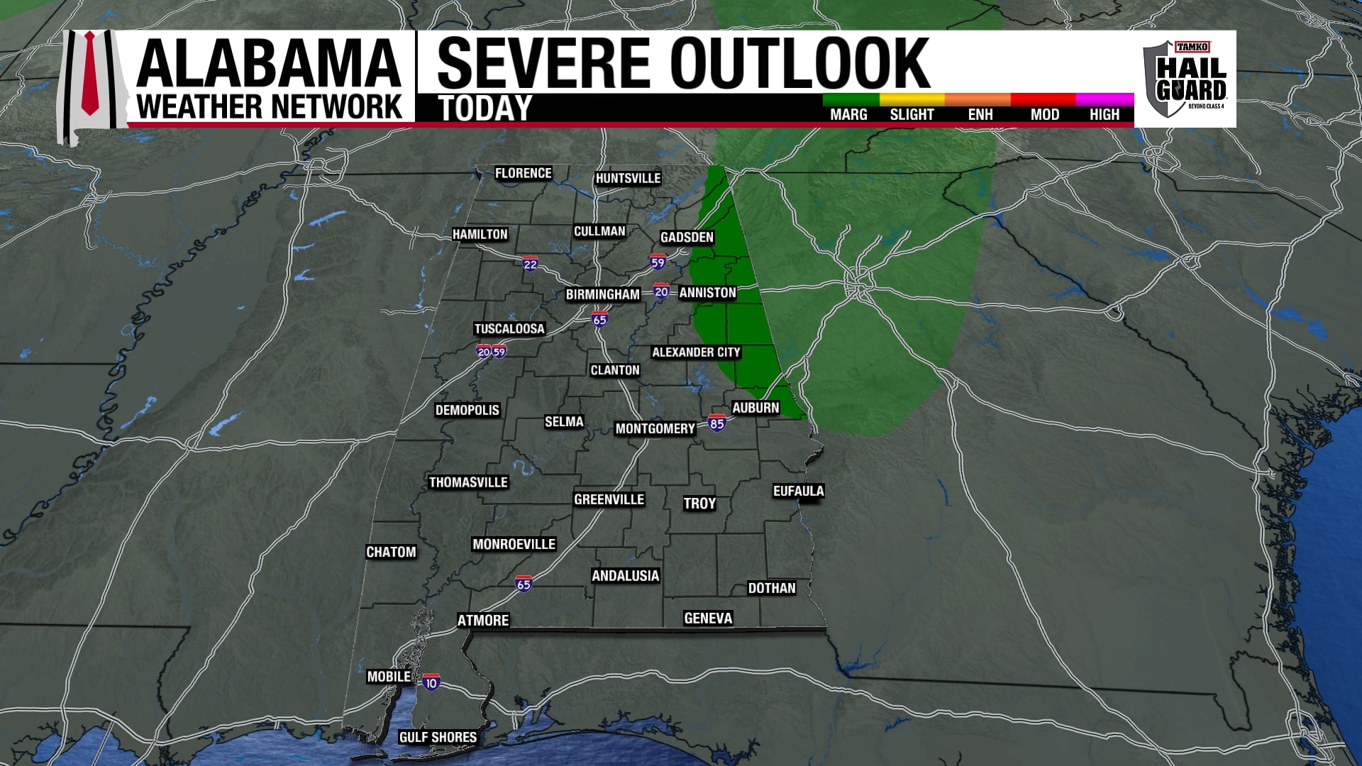
However, dewpoints are much higher to our south, and with sunset turbulence will decrease, and dewpoints may rise back to 63 or 64. When main line comes through tonight, storms could still produce 65 MPH winds, hail, and isolated tornadoes.