


The low-level cold air advection, which may have been holding precipitation back over central Alabama earlier, has slowed down. Also, temperatures aloft have really dropped, possibly enhancing the instability. Still no lightning detected by LMA anywhere south of Huntsville.
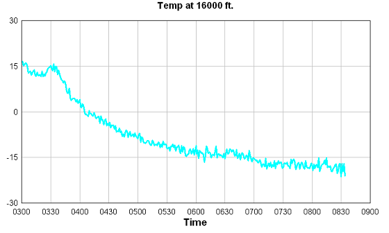
Temps from UAH microwave profiling radiometer at 16,000 feet are shown below. Notice the very cold temperatures now at 16,000 feet…around 20 below zero.
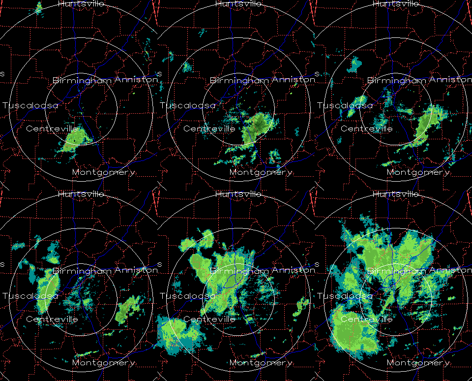
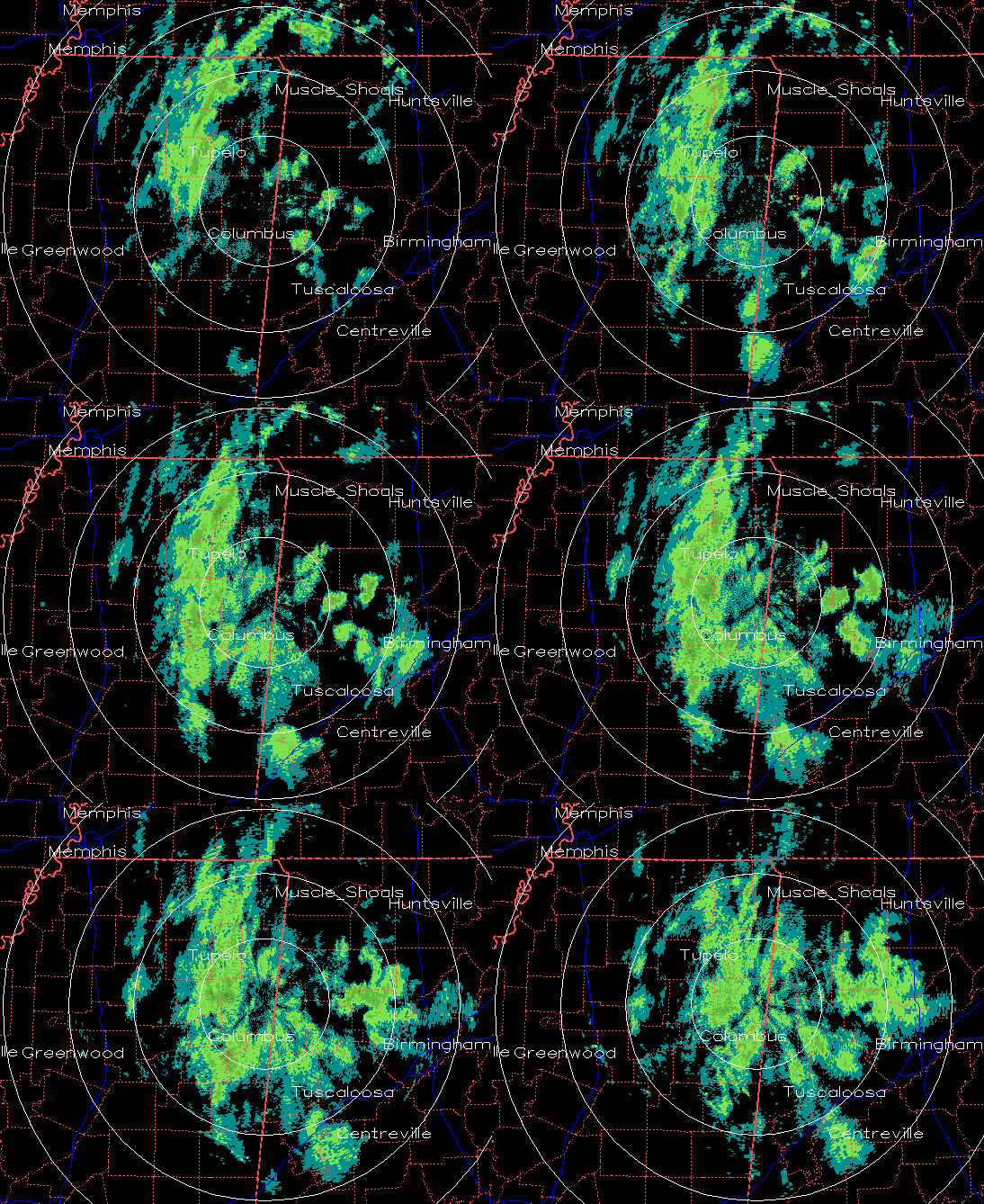
In my last blog, I said we weren’t going to get into the snowy side of this system unless convection started. It looks like it did, within 30 minutes or so! The dynamics were there, but I was starting to wonder if it was going to happen. Take a look at radar loops from BMX and GWX over the past 1.5 hours.
The snow really got going after 2 am. Still no accumulation here in Trussville except on the car, etc., but the grass may start to accumulate soon if the snow showers continue at this rate for a few more hours.



