


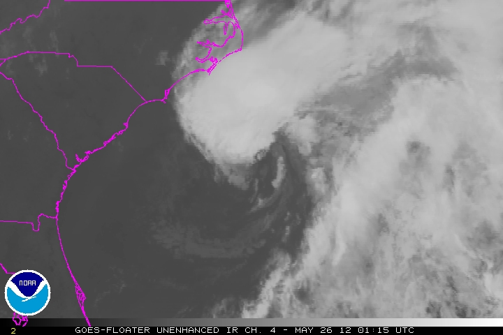
Looking at a satellite picture of the Southeast, your eyes are drawn to low pressure off the coast of the Carolinas near Charleston.
This low continues to become better organized and will probably be crowned a tropical depression later tonight.
That low will likely become Tropical Storm Beryl very soon. It is expected to turn back to the southwest, making landfall late tomorrow somewhere along the coast of Georgia or Northeast Florida, most likely near Jacksonville.
It will weaken as it crosses the peninsula of the Sunshine State. It will emerge into the Gulf briefly before turning back to the northeast early in the week. It will hug the coast as it exits to the northeast.
A few showers and storms will make it into the Florida Panhandle around Panama City on Saturday. They will increase a bit on Sunday and edge just a little further west and northwest, working into Southeast Alabama and over to Orange Beach and Pensacola. Scattered showers and storms will continue to affect the Gulf Coast into midweek.


