


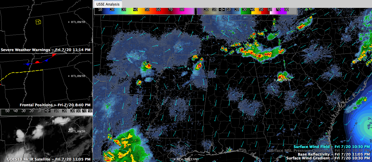
Showers and storms have formed late this evening across southern Tennessee and northern Mississippi in the vicinity of a slowly fizzling frontal system. The Mississippi storms are fewer in number because of overall drier air aloft, but may be enhanced by the presence of a weak surface low southeast of Memphis.
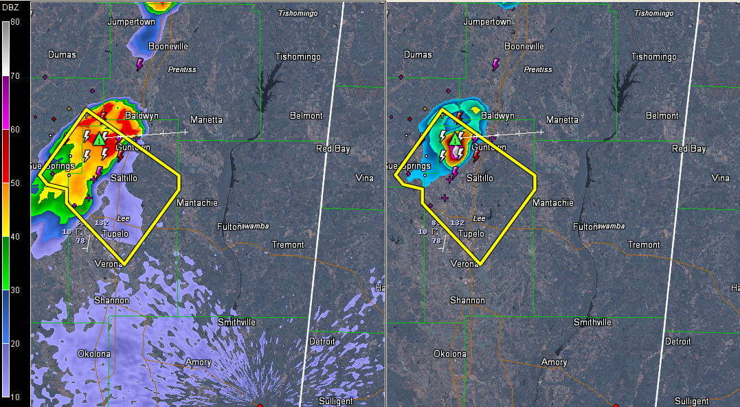
There is a severe thunderstorm warning for the area around Tupelo, although the storm should stay north of there. It is moving east and could eventually get into Franklin County, Alabama. It is takes a little more southeasterly tack somewhere along the way, it could end up in Marion County.
The storms over southern Tennessee will end up in North Alabama a little later. They should weaken overnight, and their impact should be limited to northeastern sections of the state.
But they will likely lay down an outflow boundary that will focus storm development on Saturday. Coverage tomorrow should be about 50%. Average rainfall amounts will be around one half inch. Some will get more. Many will get less.



