


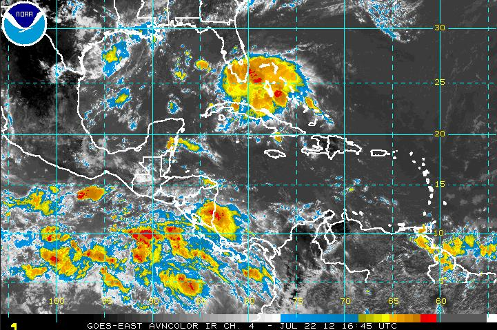
Lots of showers and thunderstorms extend from the Bahamas across Cuba. They are associated with a strong tropical wave that is moving northwestward.
The National Hurricane Center says that conditions are not favorable for additional development, but the system is already pretty strong. It will bring strong gusty winds and very heavy rain to Southeast Florida over the next couple of days.
As it moves northwestward into the Gulf early next week, I think it will have to be watched. Wind shear over the system may not be favorable now, but it looks like it will become more favorable over the Gulf.
The position of the Bermuda high would steer the system northwestward toward the Central Gulf Coast. It could arrive there late Tuesday or early Wednesday.
So far, the GFS isn’t picking up on any sort of low-pressure development. The European isn’t hinting at it either, yet. In any case, it could have an impact on the weather for the Gulf Coast and could affect our weather as well, in the form of increased shower and storm chances by midweek if the moisture works northward.



