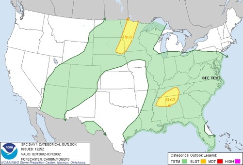
We will be on the lookout for strong thunderstorms over the northern third of Alabama this afternoon as a deep layer of tropical moisture hangs around. SPC has that part of the state in the standard “slight risk” of severe weather this afternoon.
And, the HRRR model shows high shear values over the northwest counties of the state, thanks to the remnant circulation of Isaac, which is north of here.
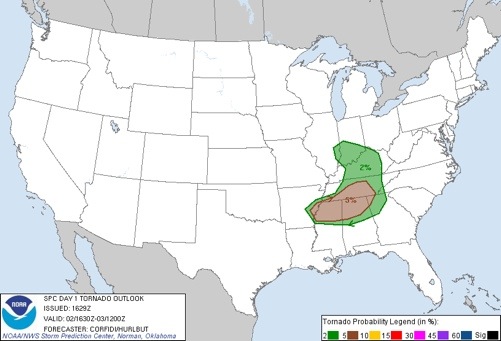
The combination of the veering of the wind with height and an unstable air mass will bring the risk of a few isolated, small tornadoes as well. These are nothing like the powerful tornadoes of spring, but can still create significant damage and a tornado warning or two could be required this afternoon.
We will be watching radar trends closely. Below is the SPC tornado probability…