


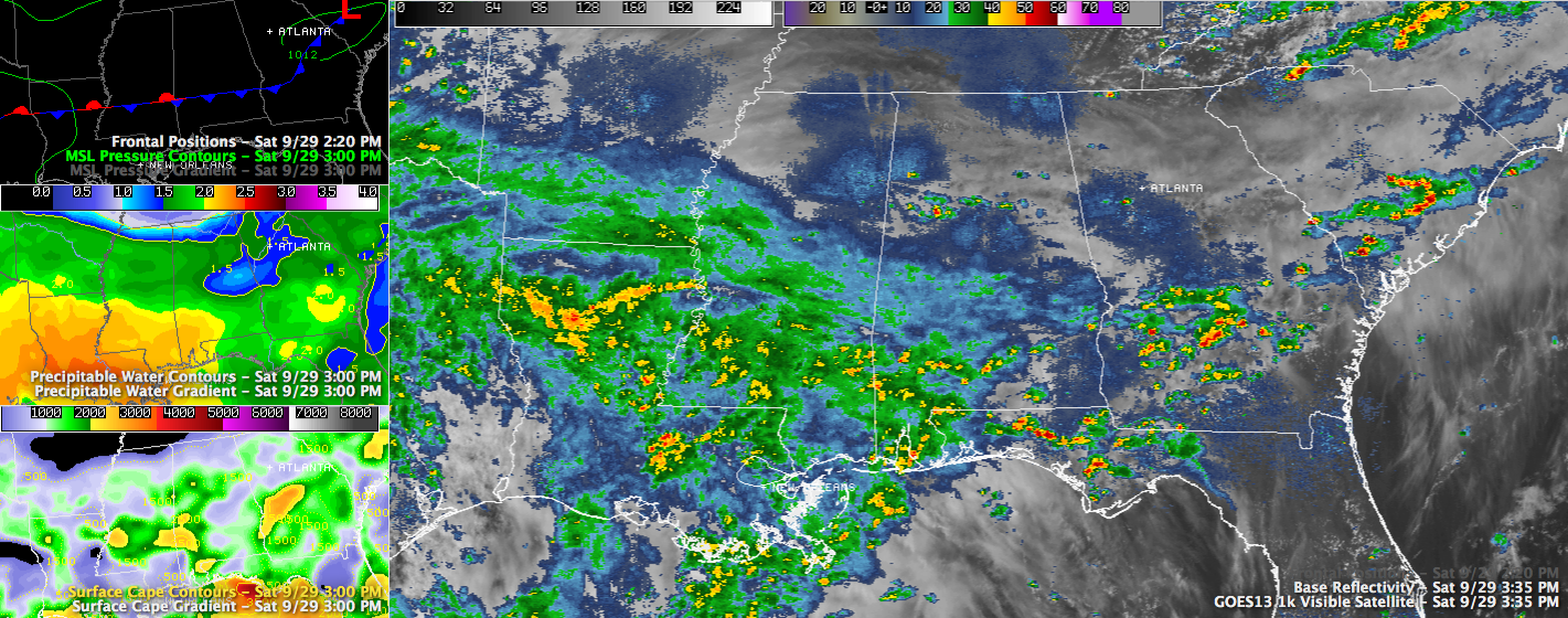
A nearly stationary front is draped across Central Alabama this afternoon.
A few light to moderate showers are on radar in the US-82/I-20 corridor, generally along the front.
Heavier showers are over Fayette, northern Tuscaloosa and northwestern Jefferson Counties. Another moderate shower was west of Gadsden over northern St. Clair County.
Some light showers will affect Legion Field and western Birmingham over the next 45 minutes. A heavier shower, perhaps with some lightning will affect the area from North Birmingham to Forest Park as it heads southeast.
For Tuscaloosa, showers are about 20 miles north of the city. The showers over northern Tuscaloosa and Fayette Counties may drift into the Tuscaloosa area by 5:30. But they are likely to weaken as the sun goes down and they are still spotty.
Alabama fans should keep the rain gear close at hand in case one of those showers moves close to the area around the stadium.



