


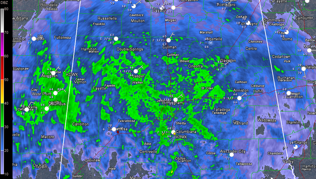
Moderate to heavy rain covers much of Central Alabama at this hour, as you can see in this radar image.
No thunder involved yet.
0.59 inches of rain at the Birmingham Airport since mid-morning.
The precipitation is lifting northward quickly ahead of a warm front which extends eastward from a a low pressure system tat is between Alexandria LA and Natchez MS. It is moving northeast.
A tornado watch covers southern Mississippi and parts of southeastern Louisiana until 8 p.m. this evening. There currently is a severe thunderstorm warning for George, Perry and Stone Counties in extreme southern Mississippi for a storm that is going to pass near Wiggins. This storm earlier had a tornado warning on it, but that was canceled as the storm weakened a bit. This activity will rotate up into Southwest Alabama’s Washington and Clarke Counties before 6 p.m.
Additional storms will continue to grow in the warm sector of the low over southeastern Louisiana, lifting up into Mississippi as more unstable air is pushed north behind the warm front. Storms will have the potential to rotate, and even produce tornadoes because of the proximity of the fairly decent low.
Wind fields will become even more conducive for severe weather late tonight, extending up into southwestern and West Central Alabama later and across much of the rest of the state Monday morning. Not expecting widespread severe weather, but there will be a few warnings, including some tornado warnings despite relatively low instability.
Please pay attention to weather information late tonight and make sure you are in position to receive warnings overnight and early tomorrow.



