


Our next named storm in the Atlantic may be getting organized this afternoon.
Disturbance 97L is a tropical wave that is moving across the Lesser Antilles today.
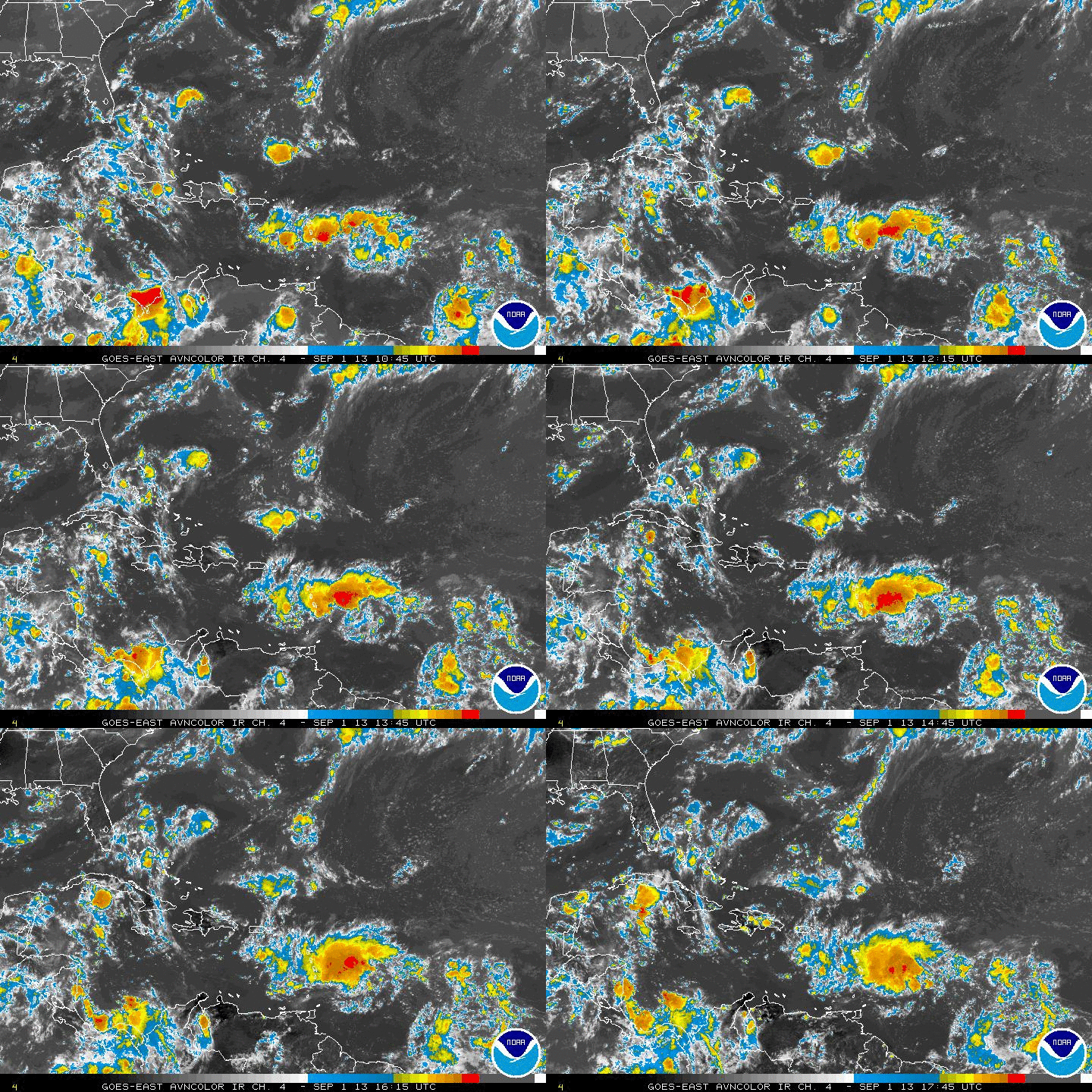
Thunderstorms have definitely increased in the past 24 hours, and there is a circulation, although a weak one. Joe Bastardi tweeted earlier that there are westerly winds at Barbados, something that one rarely sees unless there is a low pressure system in the vicinity.
The system is being impacted by dry air, but wind shear is not much of a problem, so development may occur this week as it moves over the warm water of the Caribbean.
The NHC has upgraded their probability of the system becoming a depression to 40% over the next 48 hours and 50% over the next five days.
The eventual track could carry the system into the western Caribbean, or over Cuba toward the Florida Straits and Florida Keys. Either of these tracks could carry it toward the Gulf of Mexico. A more northerly track toward the Bahamas and the Florida Peninsula is also possible.
Here is the HWRF output for noon Friday showing a tropical storm moving toward the Florida Straits.
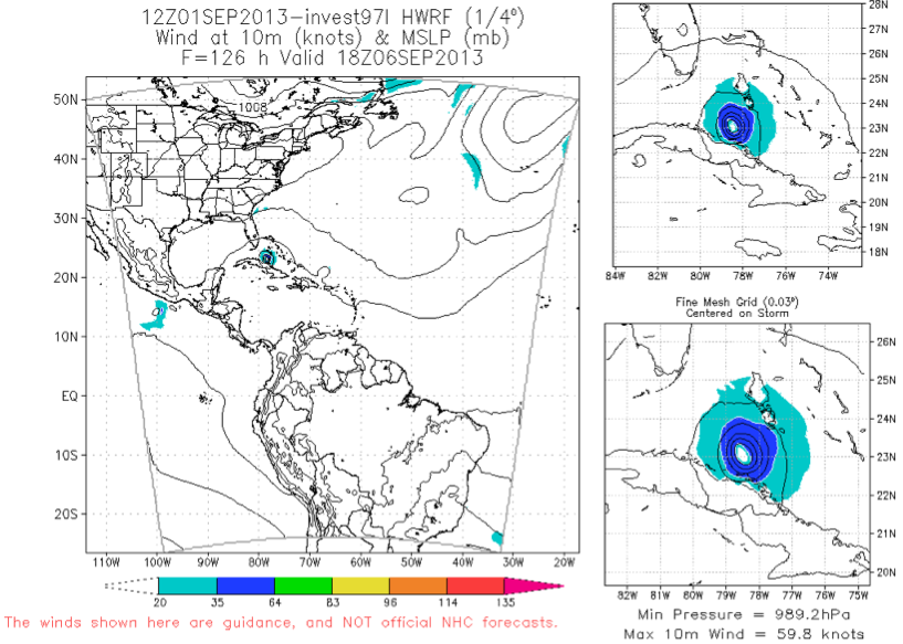
Some recent model guidance indicates that it may eventually become a hurricane.
Next name on the list: Gabrielle.



