


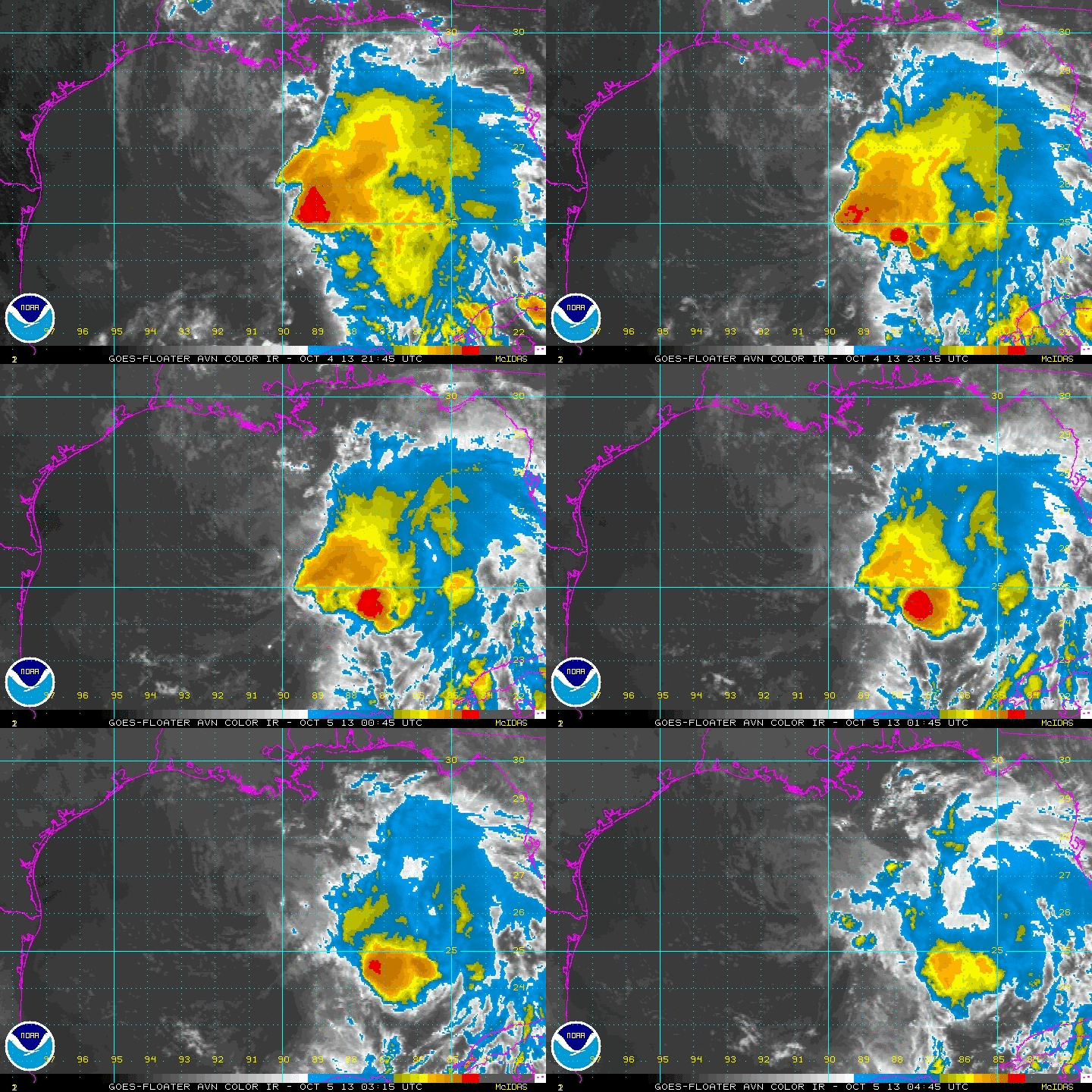
A low level swirl is spinning strongly early on this Saturday morning about 220 miles south of the Louisiana coast around Houma.
The difference from earlier today is that some convection is actually beginning to fire on the right side of that circulation. We will have to monitor it through the overnight hours to see if it is responding to the shear that is forecast to relax in the path of Karen.
The NHC kept Karen as a tropical storm on the 10 p.m. advisory, citing the fact that it had a strong low level circulation still.
But the storm is at a crossroad. Storms in this situation rarely can recover, and considering there is lots of dry air to the west of the system. Karen could weaken further to a depression, or even a remnant low. Or if the convection can build, Karen could make a comeback and actually intensify a bit later today. There is almost no chance of rapid intensification, giving the warm, but not explosive water temperatures, and there is little chance Karen could become a hurricane.
The NOAA plane has departed back to Tampa. An Air Force Hurricane Hunter plane it enroute from Houston.
We will have a quick update with the 1 a.m. advisory numbers in about 30 minutes. Then we will get a little sleep and start tracking Karen again first thing in the morning.


