


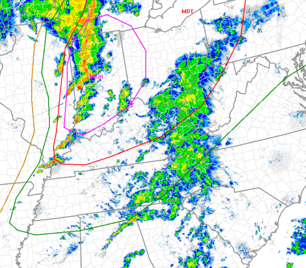
The SPC has trimmed back the slight risk area from central Alabama. The risk now only includes the Tennessee Valley of Alabama. We are still expecting strong storms to move into the state later this evening and some of those storms could produce some isolated severe wind gusts, but nothing like we have see to the north of Alabama today.
The better dynamics for severe weather are well to the north of Alabama across the Ohio Valley and Great Lakes. Numerous severe storms are ongoing and it has been a destructive day for tornadoes in the region.
Clouds and light showers continue across Alabama this afternoon. We will see these scattered showers persist until additional storms develop along the front that will move cross the state later tonight. Once again, some storms could be strong and there is still an isolated chance for severe weather in Alabama later today.



