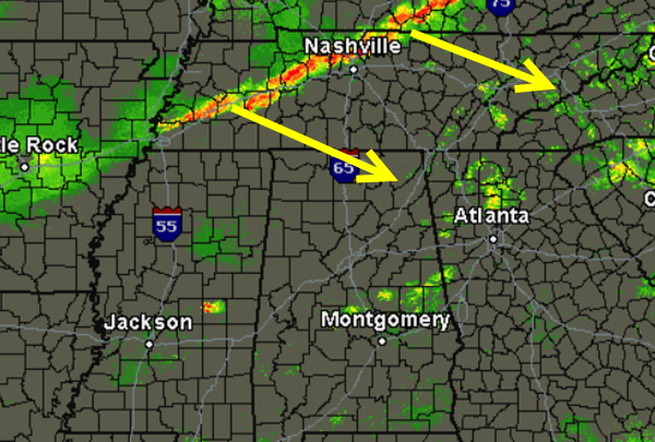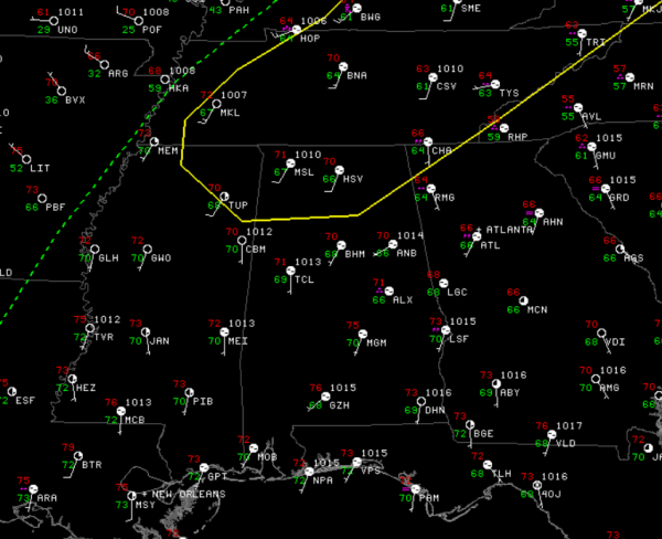
The SPC maintains the northern quarter of Alabama in a slight risk for severe weather for the remainder of tonight.
The majority of the severe weather will stay to the north of the state as the better dynamics are across the Great Lakes and the Ohio Valley. It will remain a very warm night as southerly flow off the Gulf will help maintain the mild temperatures.
The misty conditions we had all day will continue until the front arrives later tonight. We are seeing thunderstorms along the boundary over western Tennessee and this boundary will be heading into north Alabama. There are some strong storms in this line of convection and there have been a few severe thunderstorm warnings issued along it, but over the last hour, the number of warnings has decreased as the storms are weakening.
The storms are expected to continue to weaken over the next few hours as the low pressure system and dynamics pull off towards the northeast. Much of central Tennessee is under a severe thunderstorm watch, but the watch is not expected to be extended towards the south.
Later tonight, there will be some storms make it into northern Alabama, but with dynamics well to the north only showers are expected in central Alabama. There could be a few rumbles of thunder, but no severe weather is expected in our part of the state.