


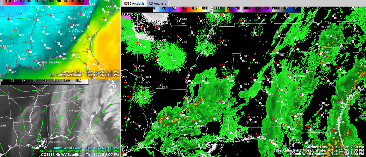
Click to enlarge
Here is an update on the Alabama weather situation as of 8:15 p.m.
The threat of ice on bridges in the morning has prompted two local school systems to call off classes tomorrow. Hoover City and Blount County schools will be closed.
We continue to track another round of precipitation that is moving into Alabama tonight.
Our upper trough is moving across Mississippi at this hour. Colder air aloft is leading to precipitation and as colder air continues to flow into Alabama behind the surface low that is moving into the Carolinas. The atmosphere should be cold enough for a wintry mix changing over to light snow between 11 p.m. and 4 a.m. in areas east of I-65 and north of I-85.
Temperatures will fall below freezing after midnight. This will allow any standing water on bridges and overpasses to freeze into slick spots by sunrise. Check road conditions on your route tomorrow morning before traveling.
Areas east of I-65 and north of I-85 may see a dusting of snow on grassy areas overnight. 1/2 to one inch may fall in spots north and east of Birmingham. Wet and warm ground will prevent significant accumulations.
LATE REPORT FROM JACKSON MS
WAPT Meteorologist David Hartman reporting wet flakes mixed in with the rain at his location in Jackson.
RAW DAY TOMORROW: The sun’ll come out tomorrow, said Annie. And she will be right. But despite a good supply of sunshine, temperatures tomorrow will remain in the 30s. You will also notice a biting northerly wind.
DANCING WITH THE STATS: Judy Freeman in CenterPoint reports 3.48 inches of rain from this storm system, including 2.54 today. Birmingham’s rain total today was 2.20”… a new daily record. Old record for 11/26 was 1.59” set in 1948. Bryan Falls report 3.10 inches of rain from the system.
TRAVEL NOTES
Ground stops have been ordered tonight at Charlotte and Philadelphia due to wind. Additional problems with rain and wind will be reported at airports from Charlotte and Raleigh through Washington/Baltimore, Philadelphia, NYC and Boston by tomorrow causing problems for air travelers. Heavy snow will fall from eastern Tennessee and western North Carolina all the way into western Pennsylvania and the snow belt of New York.
TRAFFIC NOTES
There has been a major mess on I-459 southbound late this afternoon and tonight due to a major accident at Acton Road. The road is open again now, although it will take a while to clear out. US 280 eastbound is also shut down at Chelsea.



