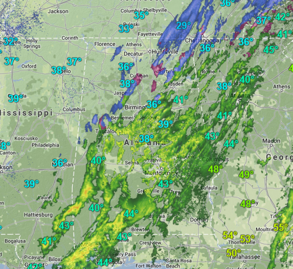
The upper-level low is moving across the state this morning and we are seeing it squeeze out rain and snow.
Numerous reports of a rain/sleet/snow mix across north-central Alabama this morning. The more intense precip is falling south of Interstate 20 tonight. Reports of flakes flying in the Birmingham metro, with sleet in Trussville, McCalla, and Homewood. Expecting this wintry mix to last a few more hours as the cold air and moisture interact.
All locations currently remain above the freezing mark, so no reports of any slick spots so far.
A cold north wind continues to blow and that is ushering in colder air as well and most areas across north-central Alabama will star out below freezing at daybreak.