


Tropical Storm Bertha is a little less than 1,600 miles east of the Windward Islands this afternoon. It is moving west at about 21 mph.
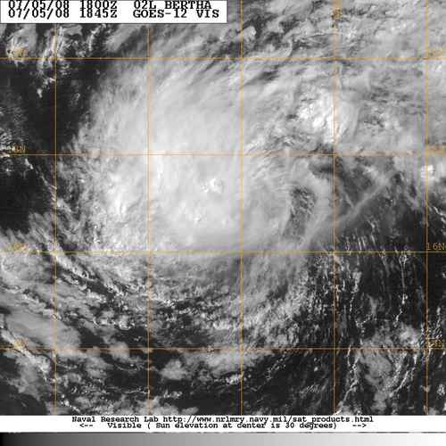
There are increasing indications that the forecasted weakness in the Atlantic Ridge may not recurve the storm after all.
The Canadian takes it to a point northeast of the island by next Friday. The GFDL follows basically the same course, just a little faster, taking the system to near Bermuda by Friday. The GFS puts it north of the islands by Tuesday night and has it threatening North Carolina briefly before turning it out to sea. Just what will happen is up in the air for now, and will be interesting to watch.
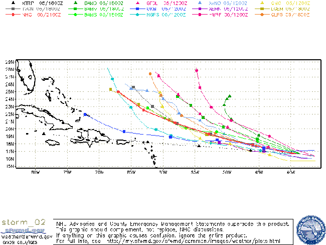
Max winds are 50 mph.
The storm has held its own over 25C water, but that will be warming to 28C by Tuesday and intensification to a hurricane is likely. After that, the amount of wind shear it encounters will determine the eventual intensity. The GFDL has it as a Category One hurricane by the time it threatens Bermuda.



