


The disturbance over the Central Caribbean is showing a flare up of convection this morning, a tropical depression number four maybe about to form.
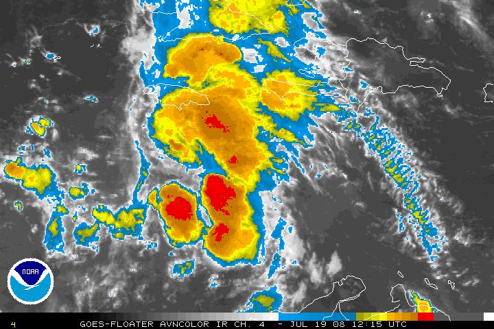
Two Air Force flights are scheduled into the disturbance today. The first should depart just before 10 a.m. and start giving us reports early this afternoon.
The system is over some very warm waters which will allow for development. It will likely become a tropical storm by tonight or Sunday.
Current thinking on the future track looks like it will be a Texas or Mexico storm. The GFS moves it into the South Texas coast late Tuesday or Wednesday. The NAM keeps it to the south, over the Yucatan, into the Bay of Campeche and into Mexico.
The GFDL is saying the Texas/Louisiana border as a Cat Two hurricane on Wednesday night. The Canadian says South Texas. The HWRF says southern Texas. The NOGAPS model doesn’t develop it until the Yucatan and moves it into Mexico. The UK Met model keeps it over Central America.
Any system in the Gulf bears watching, so needless to say, we will be keenly interested in this potential storm.



