A very interesting day of weather is ahead, as a very dynamic storm system is affecting the region.
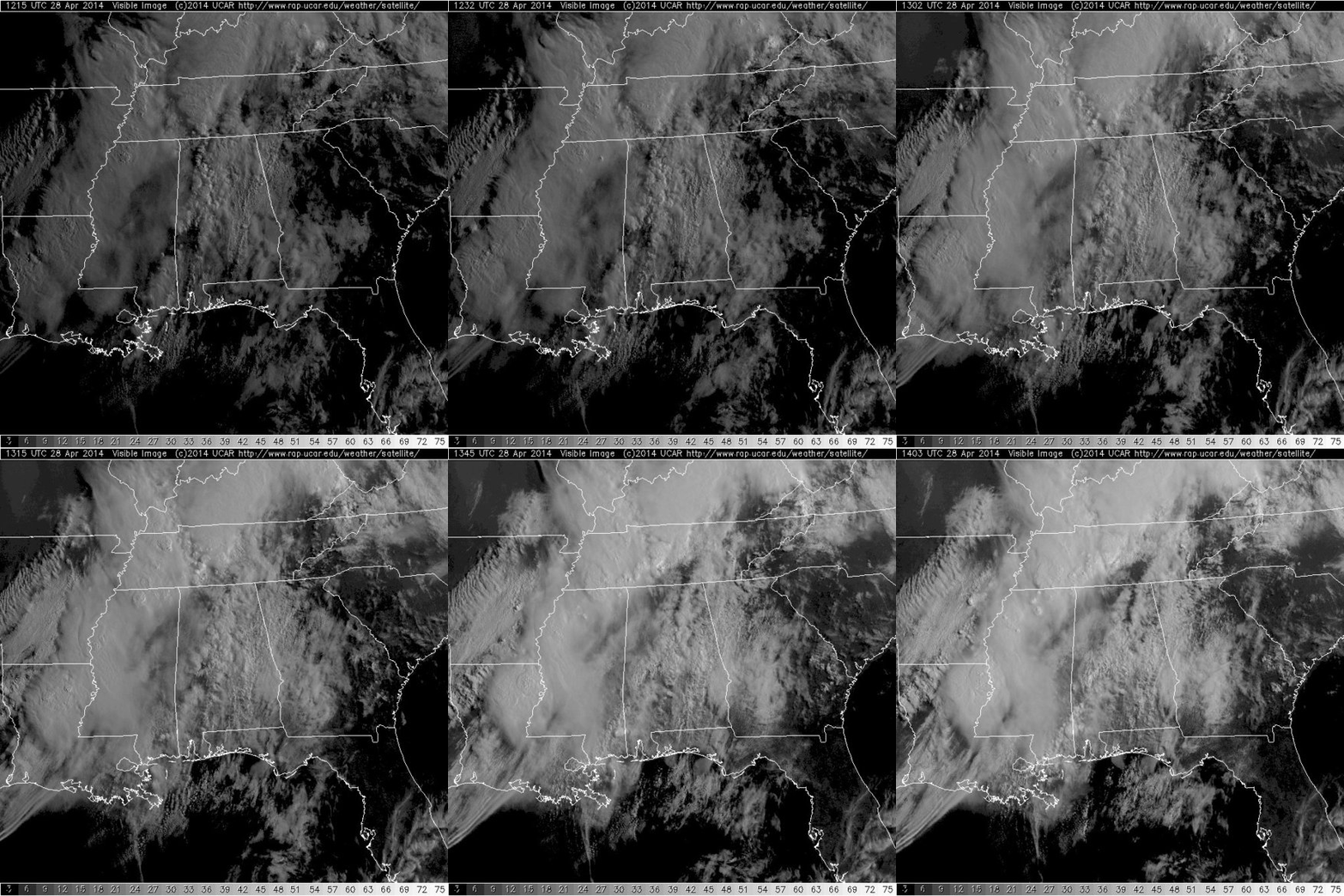
A very moisture-rich air mass is in place, directional and speed shear are present, and uplift is evident. The last thing we need is some sunshine breaking through the clouds increasing the instability. This morning, as we look as the latest satellite data, there appears to be some breaks in the clouds that are trying to develop over eastern Mississippi and western Alabama.
The additional daytime heating will help enhance the severe weather threat further and is not what we need.
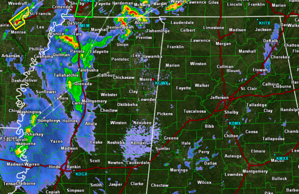
Looking at the Columbus, Mississippi radar, we can see a few light showers continue across portions of Alabama this morning. Looking farther to the west, we can see thunderstorms ongoing across the Mississippi Delta. None of this activity is currently severe in Mississippi, but just recently a new severe thunderstorm warning was issued in eastern Arkansas.
Over the next few hours, as the atmosphere continues to destabilize, we are expecting additional showers and storms to develop. By this afternoon, strong and severe storms should begin to develop over northern Mississippi and these will be moving into Alabama later today. Once again, prepare for all modes of severe weather: flash flooding, very large hail, damaging winds, and tornadoes. The severe weather threat will persist into the overnight hours.