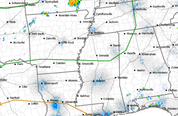
The latest day one convective from the SPC continues to have the northwestern portions of the state outlined in a risk for severe weather today. The risk does not include the major cities of Central Alabama as it remains northwest of them. In our area, the risk includes portions of Lamar, Fayette, Winston, and Marion counties.
Much like we have seen the past few days, showers and storms will develop this afternoon in the very warm, moist, and unstable air mass that is in place across the region. Storms will be strong at times and could even reach severe limits. The main threats, as we have see all week, will be damaging winds. Storms will also produce very heavy rainfall, frequent lightning, and may drop hail in the areas they impact.
Storms will begin to develop during the heat to the day this afternoon, and will wind down once the sun sets this evening. Not every locations will see the showers and storms, but where they do occur, they will pack a punch.