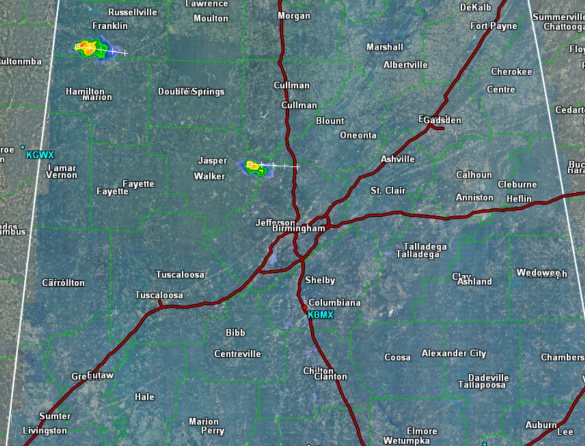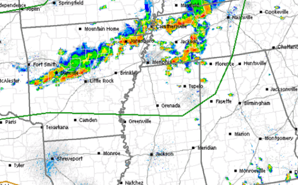
This evening we continue to watch a lot of convection to the northwest of the state. There are a few storms across North Alabama, but for the most part, Central Alabama is remaining void of convection.
To our north, severe storms are ongoing and a tornado watch is in effect from the Tennessee/Alabama state line, north to Illinois. Numerous severe thunderstorm and tornado warnings are in effect across western Tennessee. Earlier this afternoon, the SPC was mulling whether or not to issue a severe thunderstorm watch for northern portions of Alabama. At this time, they have decided not to issue a watch, but if conditions change, which can happen quickly, a watch could certainly be issued.
For the rest of this evening, most of the state will remain dry. We will see thunderstorms, especially across the northern portions of the state. Where storms do occur, expect to see the threat for damaging winds and hail, along with very heavy rainfall and frequent lightning. Storms should continue to develop a few more hours, but should begin to calm down as the daytime heating is lost after sunset.
Close up view of the radar across Central Alabama, shows nearly all locations free of convection. There is one storm in eastern Walker County that is moving off towards the east and could impact parts of norther Jefferson and southern Blount counties. Also, another strong, non-severe storm is affecting parts of Franklin County. Of course over the next few hours, we could certainly see additional storms bubble-up across Alabama as the atmosphere over the state remains unstable.