


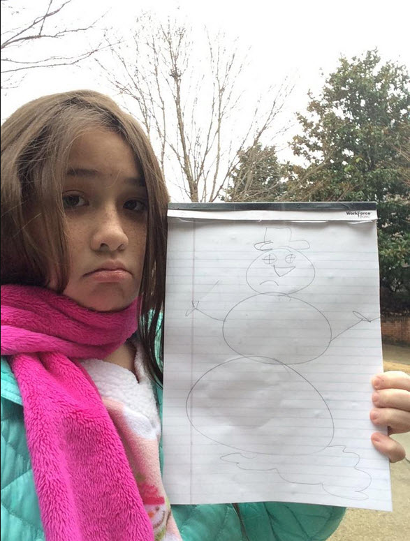
@bellahuyn10 in Gardendale sent this photo of a disappointed snowfan. But take heart, cooling aloft will change precipitation to snow later this evening as the surface low moves east for areas along and north of I-20 that have been bereft of snow so far. We are seeing that, clearly, the rain-snow line is trending south. If the radar is accurate in its algorithm, then we should see rain changing over to snow for the Tuscaloosa area in the next hour.



