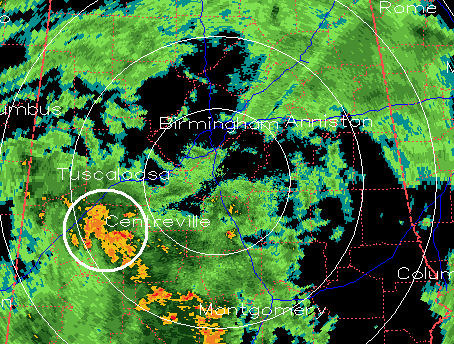
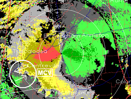
On the northern end of the line of storms that was moving through parts of southwest Alabama a little bit earlier, a somewhat rare circulation formed known as a Mesoscale Convective Vortex, or MCV. These are typically larger than mesocyclones and don’t usually, in and of themselves, produce tornadoes. But, they do circulate visibly in the reflectivity (rainfall) on radar, and they produce a large inbound/outbound velocity couplet, much like mesocyclones during severe weather.
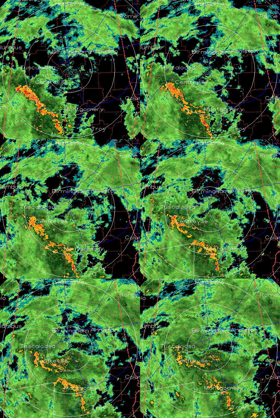
Here is a loop of the reflectivity from earlier this afternoon. Notice the spinning at the northern edge of the line of storms, moving across Sumter, Greene, and Hale counties.
Now, at a given time around 230 pm, here are the reflectivity and storm relative velocity images. You can see the very large (10 miles in diameter) inbound (green) outbound (yellow) velocity couplet, indicating rotation.