


Temperatures this afternoon across Central Alabama were lower on this Saturday, the result of persistent clouds and a few showers that hung on for part of the day.
The mercury made a brief rally before the closing bell, pushing readings to close to 90F in spots.
Some highs from across the area based on hourly readings include:
92F at Birmingham
91F at Anniston
87F at Tuscaloosa
Highs tomorrow will likely be similar to those of today. Widely scattered storms will develop by afternoon, but the rain chance tomorrow afternoon will be around one in five. But they will be going up Sunday night and will be elevated for much of the work week. Rainfall amounts will approach two inches over North Central Alabama and 1.5 inches over the rest of Central Alabama by Thursday. Hopefully, they will be higher.
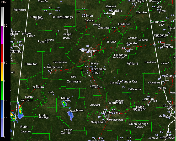
At 7:30, radar indicated a couple of showers over Dallas and Perry counties, near Marion and west of Selma. An isolated storm was over southern Sumter County between York and Cuba.



