After a gorgeous Saturday across Central Alabama, we’re waiting on a dying cold front to arrive and dissipate over us tomorrow. It won’t have much of an impact, except for a few light showers Sunday morning.
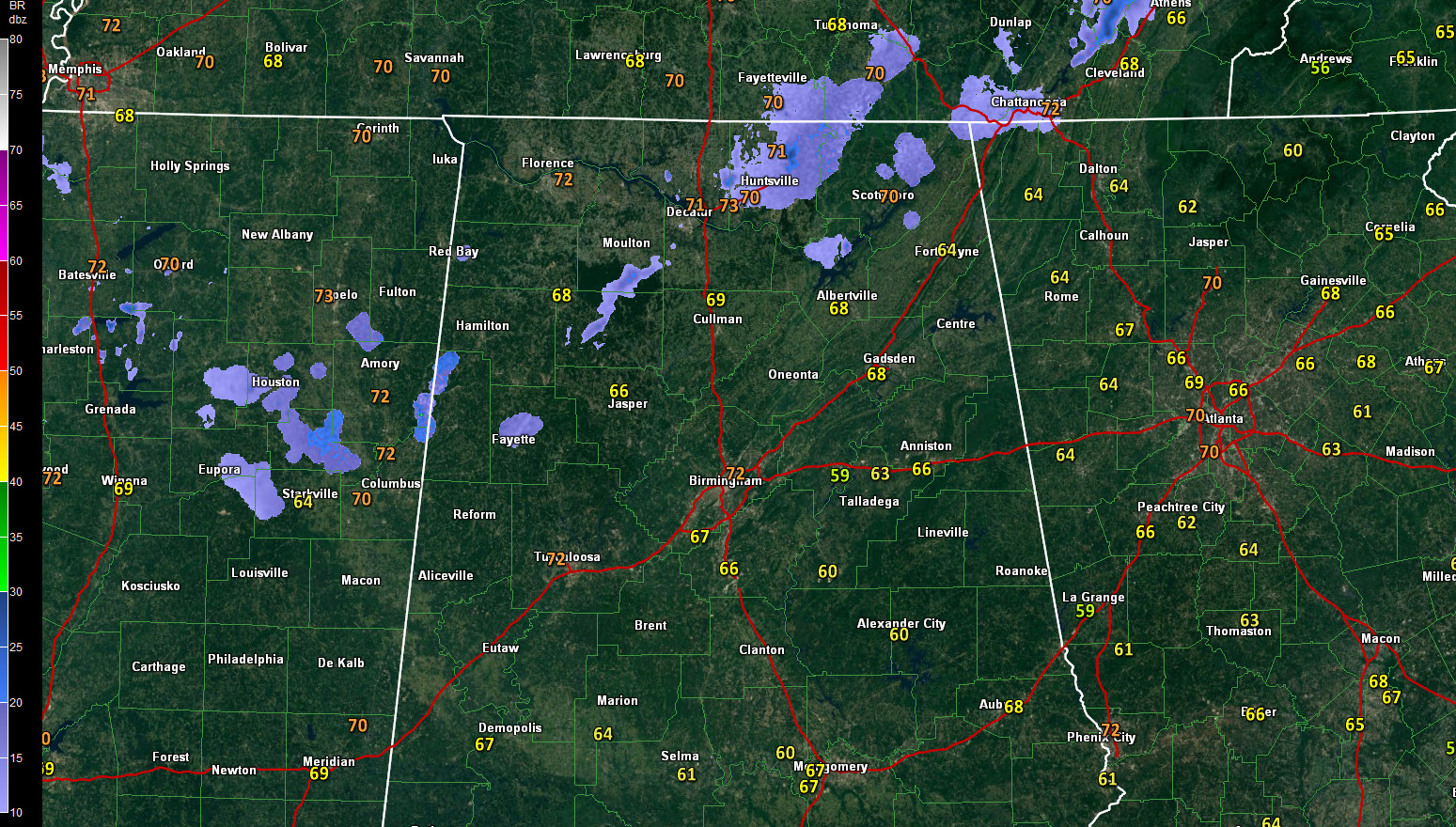
Tonight, a few light showers are on the radar from the Huntsville/Decatur area southwestward through Winston County and into eastern Mississippi near West Point. They are the result of a disturbance passing to the north of Alabama tonight.
Tomorrow morning’s showers should pass Memphis as a line of showers and some thunder around 4 a.m. It should die out before reaching our state, and the result will be an isolated light shower north of I-20 between 5-10 a.m. Sunday.
Highs tomorrow will top out near 80F again as sunshine increases after a few morning clouds.
Temperatures will be warm this week, in the 80s each day. Highs on Monday through Thursday will be in the middle 80s, between 85-87F, making a couple of the days likely the warmest of the year so far. We have reached 85F twice so far this year.