


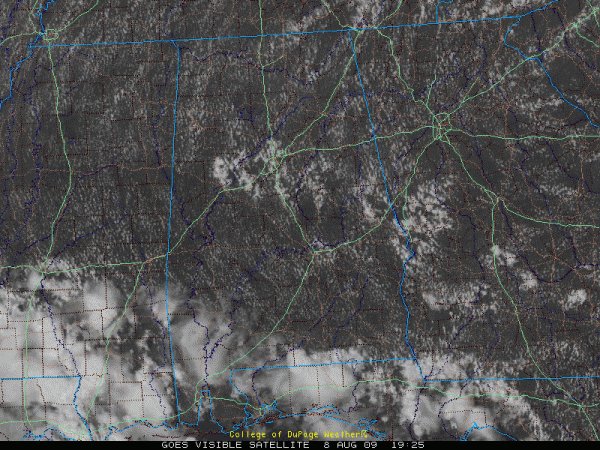
Visible satellite photos this afternoon look about like you would expect for August over Alabama with lots of cumulus clouds everywhere. A little enhanced band across the Central Part of the state is associated with some convergence from an upper disturbance moving northwest into Louisiana.
Radar shows a few showers in Tuscaloosa County. A few short lived showers have been forming over Coosa County. There is a growing wannabe storm approaching Camp Hill in Tallapoosa County. More numerous showers and storm cells were near Columbus GA ready to move into East Alabama. All activity is moving northwest.
More showers and a couple of storms will develop this afternoon from around Columbus GA up into the Tuscaloosa/Greater Birmingham areas. Temperatures are topping out in the 90s.
Expect fair skies tonight with lows in the lower 70s.
I think we will see widely scattered showers and storms on Sunday as moisture levels come up a bit and the disturbance continues to swing around the western periphery of the upper ridge that is over the Southeast. Temperatures will again be in the 90s.
Afternoon showers and storms will be a little more likely over the next seven days as moisture levels rise and the ridge lessens a bit over the Southeast.



