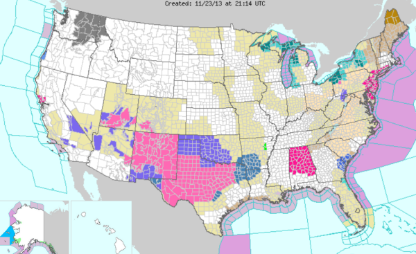
Looking at the weather maps, there is quite the mess developing to our west. We are seeing winter storms watches and warnings for Arizona, all of New Mexico and much of Texas and Oklahoma. Today we have seen winter weather advisories expanded east and now include southern portions of Arkansas and northern Louisiana. These watches and warnings are in effect for tonight and the day on Sunday, when a storm system will be moving east across these regions. The counties in Alabama highlighted in the pink color are not winter weather advisories, but a red flag warning for Sunday.
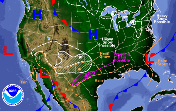
The forecast for the rest of today and heading into the overnight hours shows a lot of snow and a freezing rain threat for many areas that have been placed under these winter weather advisories. The area of low pressure over southern Arizona is drawing moisture in from the eastern Pacific and the Gulf of Mexico. This moisture is and will be interacting with a very cold air mass in place and will be setting the stage for a significant winter weather event across the Southwest, southern Plains, and into the Lower Mississippi River Valley.
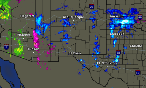
A look at the regional radar across the affected areas shows rain and snow ongoing in some areas, but as the storm system intensifies and additional moisture moves in, the radar will be filling in and a significant winter weather event will be developing. Some of the heaviest snow currently is across portions of western Texas, the Texas Panhandle, and in the mountains of New Mexico.