


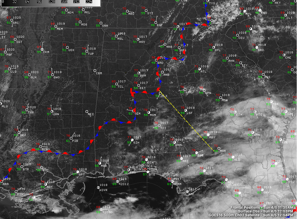
A pretty Sunday is in progress across North and Centra Alabama.
A snaky stationary front allies just south of I-59 at this hour. But skies are mostly sunny across the northern two-thirds of the state. Radars are quiet across Alabama, with the nearest precipitation echoes showing up over northeastern Tennessee.
Temperatures are climbing toward 80 or the lower 80s in most spots.
Lows tonight will be in the upper 50s under fair skies.
Tomorrow should feature increasing clouds late in the day into the overnight, but warm temperatures will still be present, with afternoon readings in the lower and middle 80s. Moisture will start during into the area overnight and rain is likely by morning in most areas. There could be a rumble of thunder or two as the rain moves through Tuesday morning. Highs on Tuesday will be in the middle and upper 70s after morning lows in the 60s.
Wednesday will be warm against with high in the 80s song with a few scattered showers and storms. Nothing strong expected.
A stronger cold front will approach the area on Thursday setting the stage for showers and storms. It appears a few of them could be on the stronger side. Again, no widespread severe weather expected. We will be watching it.
Much cooler weather is anticipated for the weekend. Lows should be ni the 40s Saturday and Sunday morning, with highs in the 60s Saturday and 70s Sunday.
Watch out for Friday the 17th. That’s a day that will bear watching in the longer term as a stronger storm system affects Alabama. It’s way too early to be specific in any way, but suffice to say it is spring in Alabama and severe weather is an ever-present threat.



