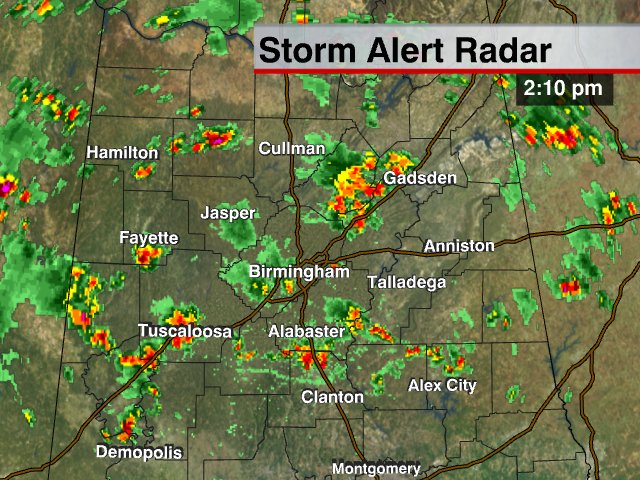
I am producing the Weather Xtreme video now… it will be along by 3:30…
For now…
*Severe thunderstorm warning for Tuscaloosa County until 2:45. Some reports:
*@spann Pea sized hail with the storm over Tuscaloosa! #alwx
*BMX: Unverified/Non-NWS Report — from Stephen Appleby (via spotternetwork.org) @ 02:09 PM CDT — (S) FFlood — — Spotter is 0 miles WNW of Dearing Place (subdivision), AL (Tuscaloosa county) [33.204/-87.562] — Water is completely across 12 and 13 street 4-5 inches deep covering an area about 500ft long between 21st and 22nd AVE. (SN#6433)
*BMX: 5 Sw Holt [Tuscaloosa Co, AL] trained spotter reports HAIL of penny size (E0.75 INCH) at 01:59 PM CDT — dearing place subdivision
*Severe thunderstorm warning is up for parts of Jefferson, Shelby, St. Clair, and Talladega Counties until 3:00… this is for a storm near Leeds… moving slowly to the east/southeast.
All of the storms are slow movers today, meaning some flooding issues are likely. And, of course, they have lots of lightning and some small hail in spots.