


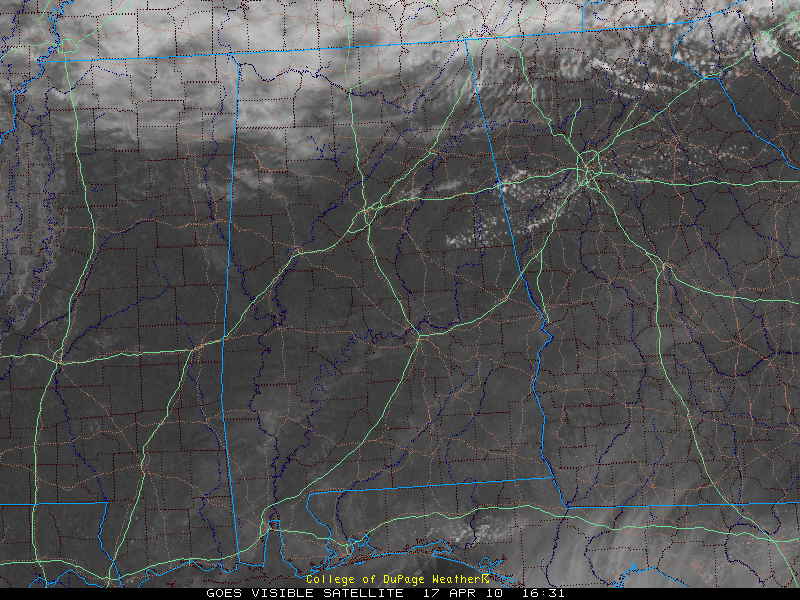
The cold front had sagged south of Birmingham and Tuscaloosa at the lunch hour on this Saturday.
With nearly full sunshine, temperatures are approaching 80 in the Tuscaloosa/Birmingham areas with mid 70s near Anniston.
Clouds and some very light precipitation lag well behind the weakening surface front over the Tennessee Valley.
To the north, temperatures are closer to 70 degrees.
We see cumulus development over East Alabama’s Clay and Randolph Counties. This may be the only place that any showers can develop at all this afternoon.
So…we will keep a chance of a few isolated showers and maybe a storm this afternoon, but probabilities are very small and amounts will be spotty and light.



