


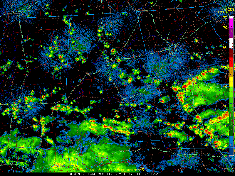
A broad band of showers extends from Marion to Pickens Counties in the west through Walker, Fayette and Tuscaloosa Counties into Blount and St. Clair Counties over to Talladega, Tallapoosa, Chambers and Lee Counties in the east.
The highest concentration of showers extended from near Talladega to near Opelika.
Not seeing any lightning yet, but some of the tops are approaching 30,000 feet, so it probably won’t be long.
The showers are increasing in intensity and coverage slowly.
Showers and a few storms will continue through the remainder of the afternoon and will likely increase overnight tonight. Keeping our fingers crossed for some beneficial rains on Sunday across much of the area.



