


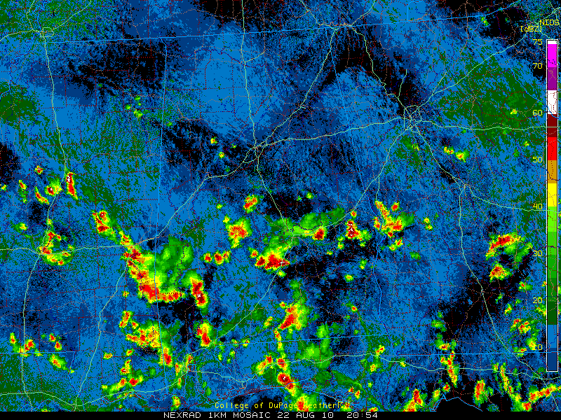
Most of the active weather has been over the southern two thirds of Alabama this afternoon, much as we had expected.
The strongest storm in the state right now is probably the one over Lowndes County, where tops briefly registered to nearly 60,000 feet. It is near Fort Deposit and is moving toward Greenville.
We still have a severe thunderstorm warning for Macon County, for that storm near Shorter.
The storm west of Selma in Dallas County is fairly strong as well.
The storm south of Auburn has grown and is approaching Hurtsboro.
Finally, a decent storm in southwestern Chilton County near Maplesville.
Just a few small showers over northeastern Tuscaloosa and western Jefferson County as this hour. They’re aren’t amounting to much. They are part of a struggling line of isolated showers that extends back to near Columbus MS, apparently on the boundary of the dier air aloft that has invaded the northeastern third of the state.
Everything is pushing off to the south.
99F last hour at the Tuscaloosa Airport. It was 93F at KBHM. Montgomery had cooled to 81F.



