


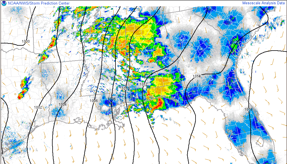
Rain and thunderstorms continue across the northwestern quarter of Alabama tonight, extending back into eastern Mississippi.
These storms are the advance guard of a powerful storm system that is moving out onto the Plains states tonight.
Seven tornado watches are in effect from Nebraska into Mississippi back into Texas.
The Alabama activity is being caused by warm, moist air that is being pulled northeastward ahead of the storm system. The instability is not based near the surface, but elevated above the ground. These advance storms generally do not produce tornadoes or much in the way of damaging winds, but are capable of lots of lightning, loud thunder, intense rainfall and some strong wind gusts as well as hail. There still will likely be warnings with this activity over the next few hours as it moves northeast.
Later however, as the deeper moisture moves in, the instability will become surface based and storms will have a greater potential to become severe. It is then that we expect that tornado watches could be expanded into western Alabama and more dangerous severe weather, including isolated tornadoes coudl occur.
It is the kind of night when you will want to stay up to date on the latest weather information and have a way to receive warnings. If you do not have a Weatheradio, our WeatherCall system is a great way to get warnings.
Tomorrow will be a long day as a second low develops to the west of Alabama and moves northeast. With instability and significant wind shear in place, supercell storms could form producing damaging winds, hail and tornadoes. Finally, a line of severe storms will move across the state during the overnight hours, with the threat of damaging winds and isolated tornadoes.
This is a developing severe weather situations that all residents of Alabama should monitor closely through Saturday.
We will have updates every hour or as needed throughout the night with more frequent updates when warnings are in effect in Central Alabama.



