HEADLINES
…Isolated severe storms possible overnight
…Monitor weather overnight just in case
Our forecast looks on track. A line of thunderstorms over western Mississippi will reach Marion County around 10:15 p.m., Pickens County around 11:15 p.m., southern Sumter around midnight.
The strong upper dynamics are lifting rapidly out to the northeast with the surface low and upper system. There is also warm air aloft. So despite the fact that the low level air is warm and moist, storms ahead of the main line will not be able to develop.
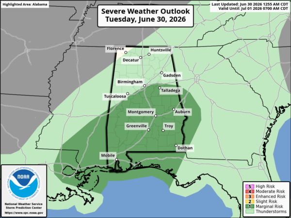
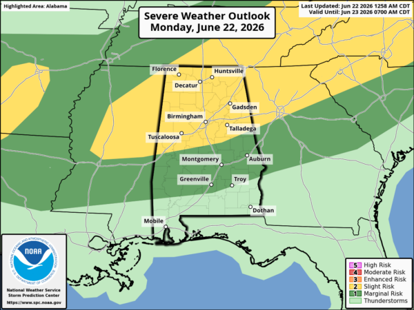
The forcing associated with the front will keep the line going through the night. There will be a couple of isolated severe storms, mainly northwest of I-59, probably between 10 p.m. and 3 a.m.
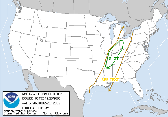
The Storm Prediction Center is saying the same thing, and they have lifted truncated the bottom of the slight risk area, which now over runs down into extreme northern Mississippi.
SO BOTTOM LINE…
Monitor the line of storms as it enters Alabama just in case. And have a reliable source of weather information that will wake you (i.e. a Weatheradio) overnight.
MISSISSIPPI WARNINGS
A severe thunderstorm warning is in effect for Holmes and Carroll Counties in North Central Mississippi until 830 p.m.