


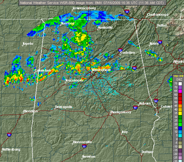
Radar
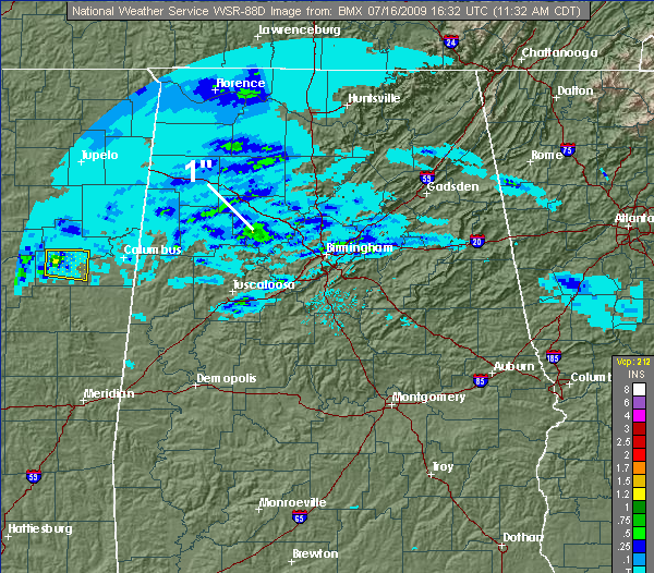
1-hour rainfall
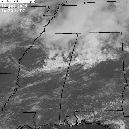
Visible satellite picture
A line of thunderstorms has moved in from the NW and expanded over the past 2 hours, with the heaviest rain now extending from near Logan Martin Lake, to downtown BHM and west Jefferson County, and then to near Fayette and Gordo. The lightning is fairly intense in the strongest part of the line…so please use common sense if you’re thinking about going outside. The line is also moving slowly and has more, lighter rain coming in behind it, so a few places may deal with street flooding this afternoon. Radar estimates show 1″ of rain in one hour near Parrish in Walker County. Wind gusts over 50 mph are also possible, especially south and west of BHM where the storms will intensify with afternoon heating.
In the “raw” visible satellite image taken from GOES east (it is directly over the equator, so one can see the storms over AL/MS from the side a little bit too), notice the tall clouds along the line, especially in east MS.



