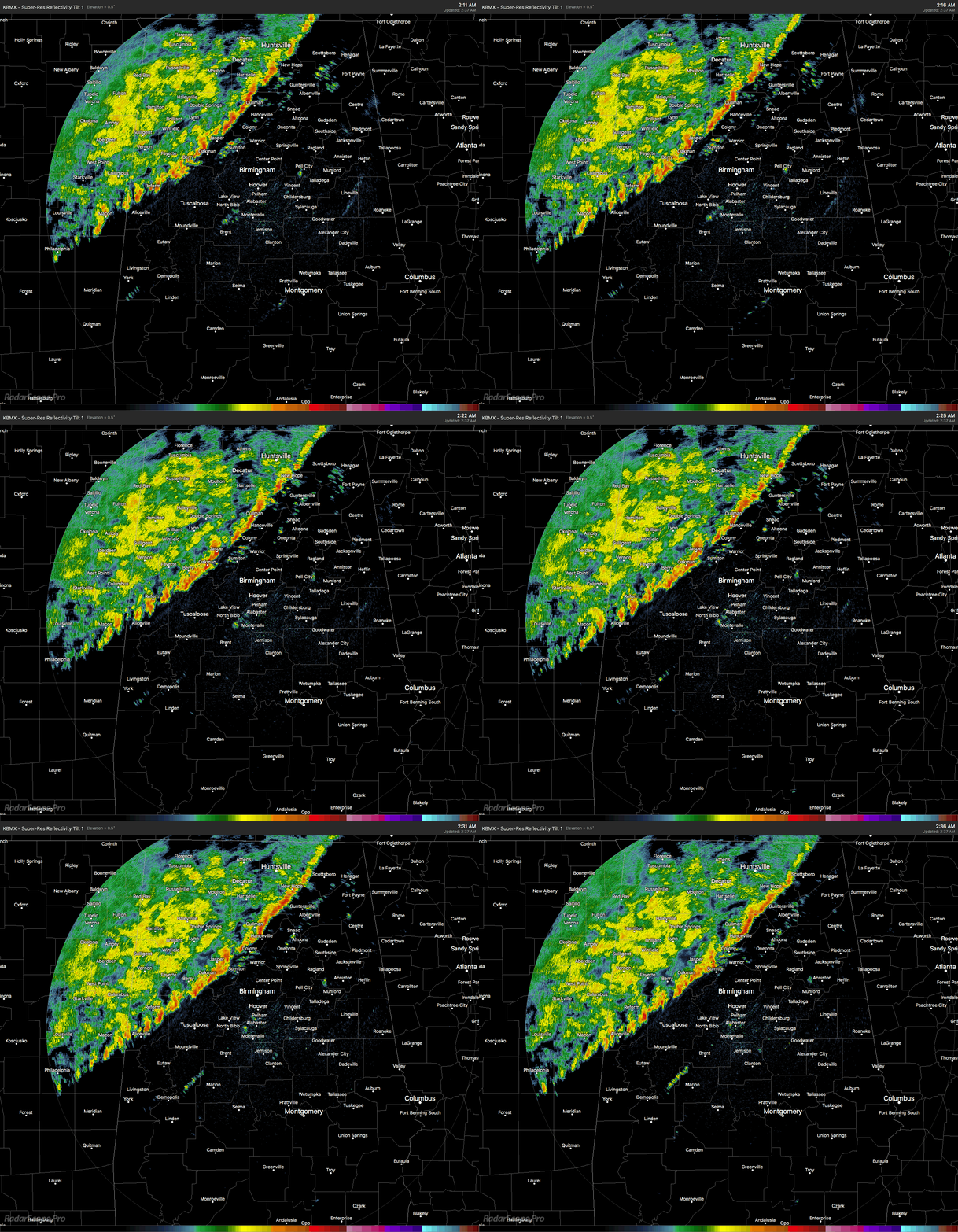
Radar Check At 2:38 AM
The line of storms has now made it well into North and Central Alabama at this time, with no warnings in effect. We are still seeing the possibility of stronger wind gusts in the northern parts of the state with this line, but the part of the line in Central Alabama has been well below severe limits and not really all that impressive. The line currently stretches from Scottsboro to Holly Pond to Sumiton to Aliceville. I can’t see any lightning strikes at this point, so it appears that the weakening that was expected is occurring.
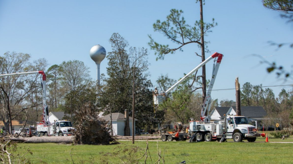
We’ve had some reports of power outages from up in North Alabama, but the good news is that there have been no reports of damage or any flooding at this point.
The latest Hazardous Weather Outlook was just released from NWS Birmingham, and they are not expecting any hazardous weather throughout Central Alabama at this time. Still believe the strongest storms will be located in North Alabama throughout the remainder of the pre-dawn hours, with mainly gusty winds up to 40-50 MPH possible.
We’ll keep an eye on the situation throughout the rest of the morning.