


Scroll down and see the upper air sounding from the Shelby County Airport, and you can see the capping inversion, which prevents parcels from rising into showers and storms, is still hanging tough, and radars are very quiet tonight.
With dynamic forcing getting clouds, a band of broken showers and storms is expected to form within the next three hours. Below is the RPM output valid at 2:00 a.m….
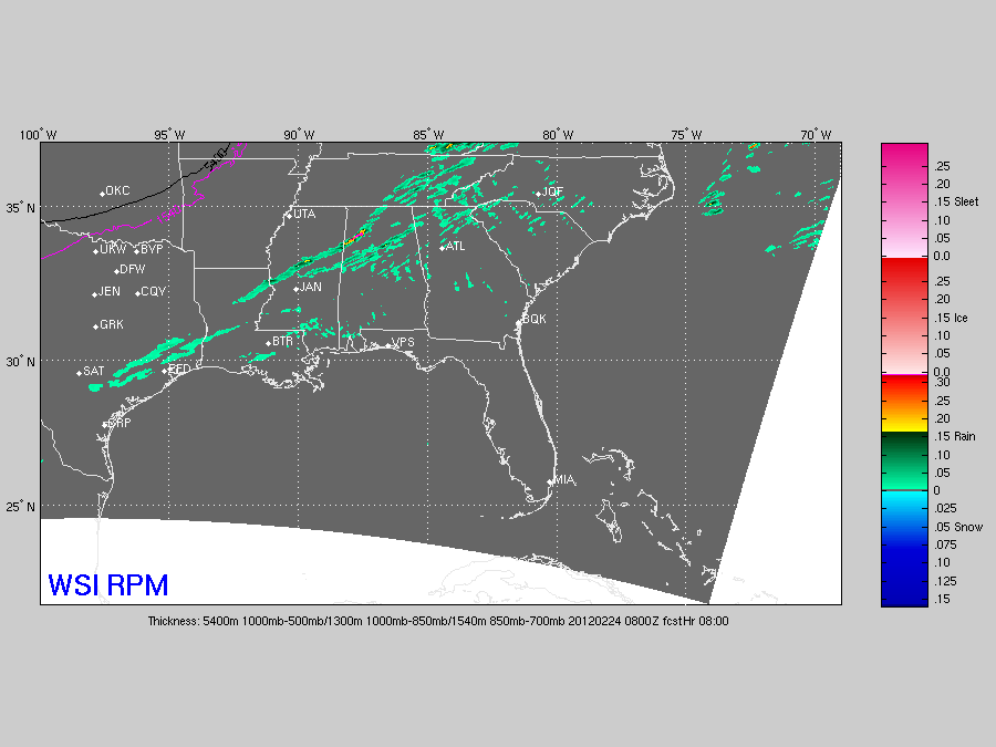
When the cap erodes and storms do finally form, the main risk overnight will be from hail and gusty winds. Wind profiles are expected to become more unidirectional after midnight, so the general tornado threat looks pretty low.
The main window for showers and storms now seems to be from midnight to 6:00 a.m. Not a major threat, but still one to watch. Be sure you have a working and properly programmed NOAA Weather Radio in case warnings are needed overnight. We will be watching.



