


**We are on a holiday schedule… just one Weather Xtreme video today. Back to the “two a day” schedule tomorrow**
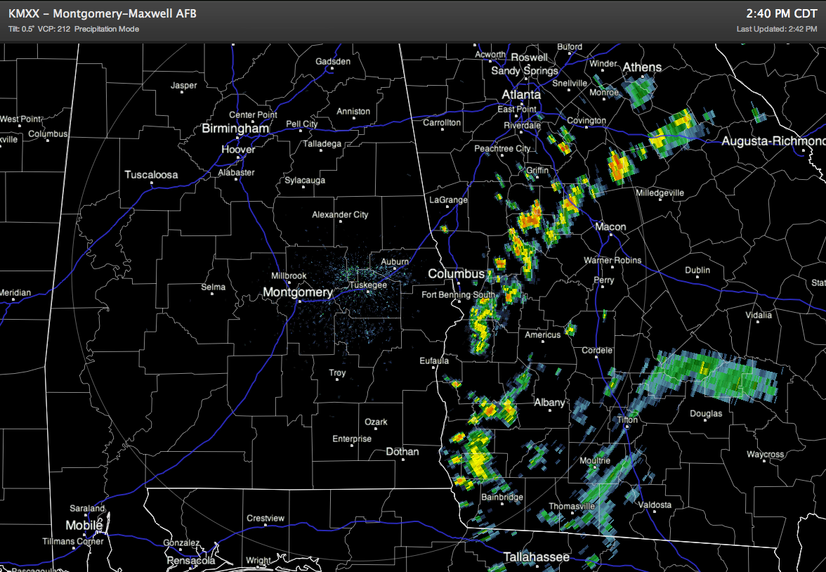
HOT MEMORIAL DAY AFTERNOON: Temperatures at 2:00 include 88 at Anniston, 89 at Birmingham, and 93 at Tuscaloosa. We note that the outer band of rain showers associated with Tropical Storm Beryl will creep into far Southeast Alabama in coming hours; best chance of seeing any rain will be from near Eufaula down to Dothan, near the Georgia border. There is no rain over the northern half of the state.
CHANGES COMING: An upper low is forecast to develop northwest of Alabama late in the week, and that will mean decreasing heat levels and much higher rain chances, especially Thursday and Friday.
Tomorrow and Wednesday will still be pretty warm, with afternoon highs around 90. Any showers tomorrow should be widely spaced, but they will be a little more numerous Wednesday as the upper ridge weakens.
We will have to look at mentioning some risk of strong to severe thunderstorms Thursday and Friday with that ULL northwest of Alabama. Don’t seem them that strong in June… there will be lots of instability, and with the dynamic lift we will have to keep an eye on some storms that might produce hail and strong, gusty winds. Of course, we need that rain, and it looks like rain amounts of at least one inch are likely in the Thursday-Friday time frame.
WEEKEND PEEK: Still looks like with dry, continental air in place. Becoming partly sunny Saturday, followed by a sunny sky Sunday. A good chance we see lows in the 50s early Saturday and Sunday morning; highs will be in the low to mid 80s.
AT THE BEACH: For the coastal region from Panama City west to Gulf Shores… expect about 6 to 8 hours of sunshine tomorrow and Wednesday with a few scattered showers and storms. Then, on Thursday and Friday, about 2 to 4 hour of sun with scattered to numerous showers and thunderstorms. Then, the weekend ahead looks dry with ample sunshine Saturday and Sunday. Highs will remain in the 80s for the next 7 days… and the sea water temperature this afternoon at the Dauphin Island Sea Lab was 83 degrees.
TROPICS: Tropical Depression Beryl is making the turn… it will move back to the east/northeast in coming days, and should far out to sea by Thursday as a sub-tropical storm. The rest of the Atlantic basin is quiet.
We note that in two other years we had two “pre-season” tropical cyclones (before June 1)… in 1973 and 1981. Interesting to note that both of those hurricane seasons turned out to be very quiet. No correlation in pre-season systems and the number of tropical storms to follow.
WEATHER BRAINS: Don’t forget you can listen to our weekly 90 minute netcast anytime on the web, or on iTunes. This is the show all about weather featuring many familiar voices, including our meteorologists here at ABC 33/40. Again, a reminder we will record this week’s show tomorrow night at 8:30 p.m. CDT… not tonight.
CONNECT: You can find me on all of the major social networks…
A special thanks to everybody at the U.S. Space and Rocket Center in Huntsville… I spend the morning there shooting video for a church project… they went out of their way to accommodate us. What a great place to visit, especially if you have kids that love science. So much history there, along with the fun rides and things to do.
Look for the next Weather Xtreme video here by 7:00 a.m. tomorrow…



