


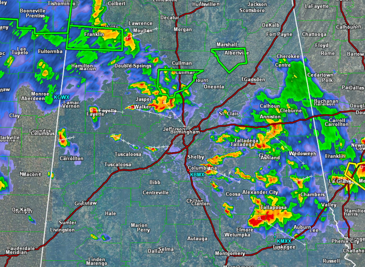
Click image to enlarge.
As we look across the state, we are seeing numerous strong and locally severe storms. Even a few flash flood warnings are in effect as well. Storms will continue to develop and move off towards the southeast the next few hours.
At this time, a strong storm is approaching the Birmingham Metro from the northwest out of Walker County. Strong storms are occurring in Shelby County, as well as Tallapoosa, Elmore, Talladega, Clay, Fayette, Pickens, and Tuscaloosa Counties. We continue to see additional storms develop across Central Alabama, and these storms are capable of reaching severe limits quickly as instability values are quite high today.
Storms are producing lots of lightning and torrential rainfall that is causing some isolated flash flooding. Damaging straight-line winds are the greatest concern, but storms are producing hail as well. Storms will continue through the evening hours before they begin to wind down after the sun sets. A severe thunderstorm watch is in effect until 7 PM for all of North-Central Alabama.



