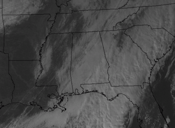
Very slow clearing of the sky continues this afternoon. Drier air is working in slowly and we are seeing the sun across northwestern portions of the state. Even a few peeks of sun as far south as the Interstate 20/59 corridor, and much of Central Mississippi is seeing the sun this afternoon. Over the next few hours, the clouds will continue to lose the battle to the drier air and will either move out of the region or will slowly evaporate. As the sky clears, it will definitely help those temperatures drop.
Along with the clearing sky, a steady north wind will continue to drag a much colder and drier air mass south. This air mass will settle into the state during the overnight hours.
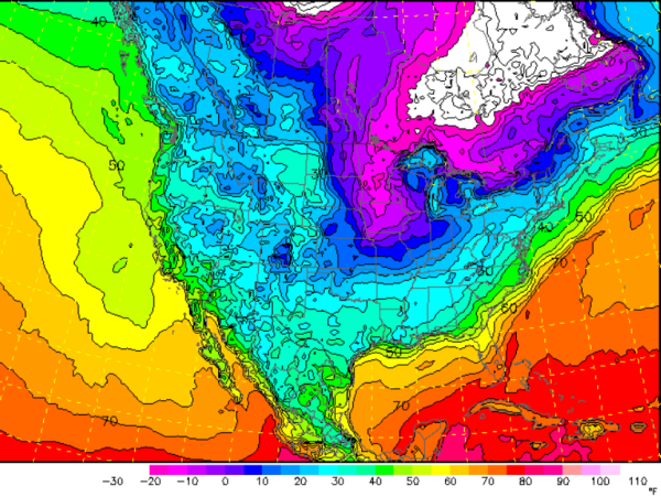
As we look at the NAM forecast lows for Tuesday morning at 6 AM, it paints a cold picture for Alabama. Widespread 20s are expected for the northern two-thirds of Alabama, while low 30s will be expected along the Gulf Coast and in the Wiregrass Region. Needless to say, Christmas Eve starts off very cold and we are expecting even colder temps by Christmas morning.
The good news is the sun will be back in full force tomorrow, but afternoon highs will remain cold. Highs Christmas Eve will struggle to make it into the 40s across Central Alabama.