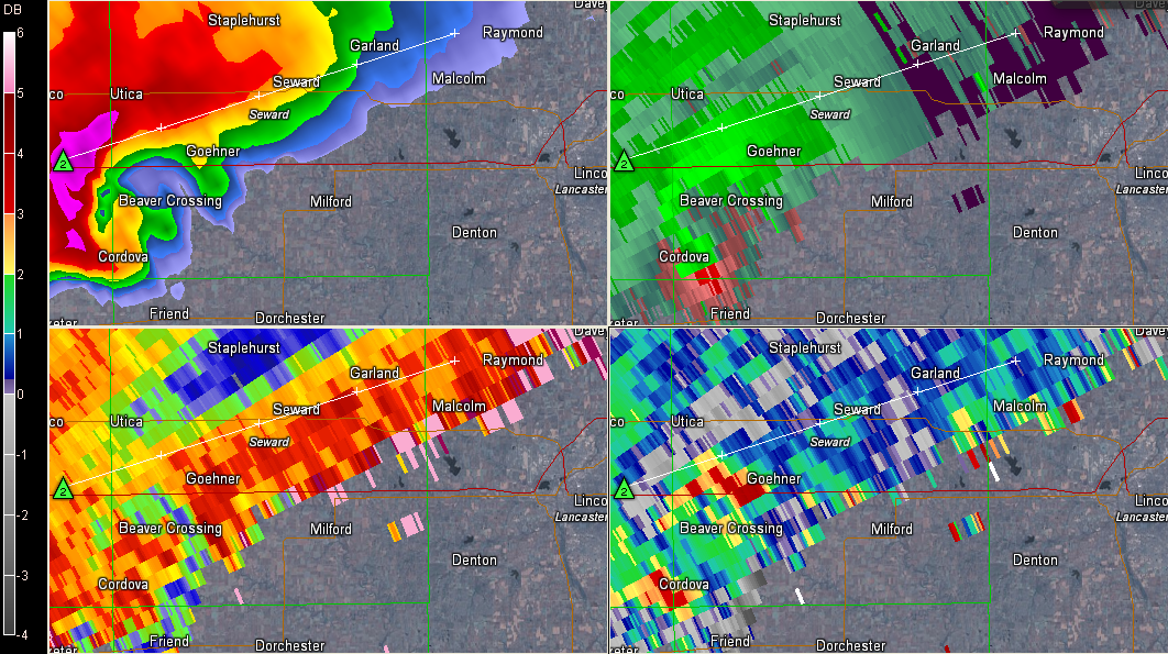
A supercell thunderstorm along the warm front in Nebraska is producing a confirmed tornado about 30 miles west southwest of Lincoln NE late this afternoon.
It is very near Beaver Crossing right now.
It is moving ENE at 25-30 mph and could affect parts of Lincoln within the hour.
ALABAMA UPDATE
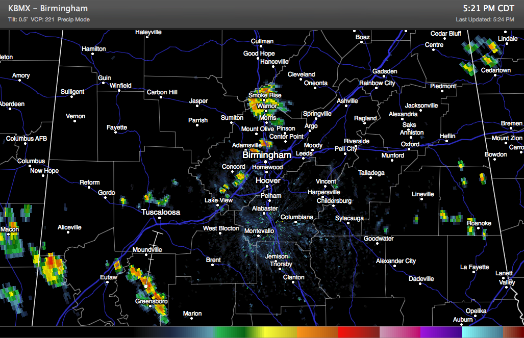
Showers continue in the Birmingham area at this hour, generally along and west of I-65 from Bessemer to Fultondale to a large cell near Warrior /Smoke Rise. Others are north of Tuscaloosa right now.
Heavy showers over West Alabama are over Sumter, Greene and Hale Counties. Here is a current radar: